May 29, 2017 – Temperatures a little above normal for today followed by a cooldown Tuesday. Isolated afternoon showers or thunderstorms possible over the mountains into mid-week.
Discussion (Today through Thursday)
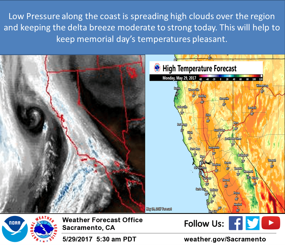
A weak shortwave is along the coast and is not projected to move inland until Tuesday. This will help to keep moderate to strong delta breeze going throughout the day today and through Tuesday. The models are indicating the best instability over the next several days occurring this afternoon over the Sierra Nevada along the crest.
The trough axis moves inland Tuesday and we may continue to see some afternoon thunderstorms along the crest from around Alpine County southward. A broader trough with more moisture will move through Wednesday and may even bring a mix of light showers and sprinkles to the valley. For now have left out any mention of thunder with the models not indicating great enough instability but we will have to re-evaluate that as we get closer to Wednesday. Thursday will be a dry day for the western slopes with zonal flow over the region and the better chances for anything would be east of the crest.
Little change in temperatures is expected today other than in the delta and Sacramento region which will have some cooling due to the stronger delta breeze today and low clouds lingering in the Bay Area most of the day. Cooling all areas will occur both for Tuesday and Wednesday with the coolest day of the week likely to occur on Wednesday.
Extended discussion (Friday through Monday)
Dry weather Friday as zonal flow continues. A weak shortwave returns along the coast for Saturday and Sunday and may help to bring back some thunderstorms along the crest. For now conditions are forecast to be dry but that may change. Temperatures will warm a little above normal for this time of year but remain pleasant.