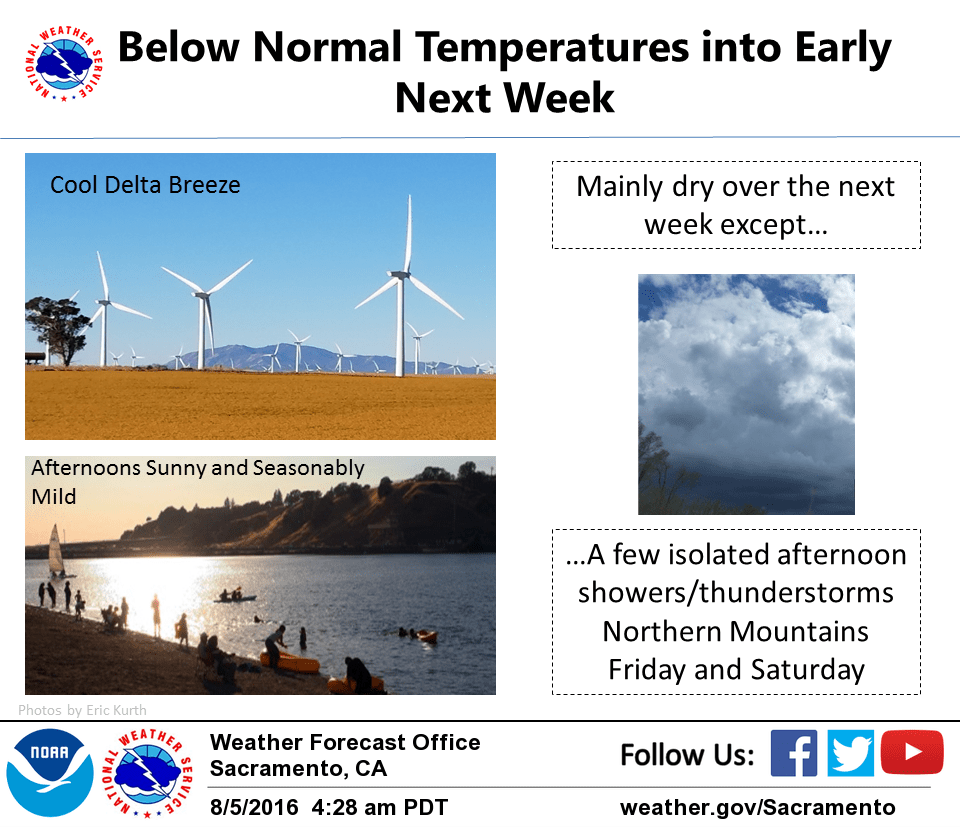
August 5, 2016 – Below normal temperatures continue through early next week. Slight chance of an afternoon shower or thunderstorm over the Coastal and Northern mountains today and Saturday.
Short term discussion (Today through Sunday)
A slow moving upper level trough along the coast will gradually shift inland bringing continued below normal temperatures to the area. Disturbances passing through the base of the trough will bring the potential for a few isolated showers/thunderstorms this afternoon/early evening and again on Saturday. Overall, most of interior northern California will remain dry and sunny into early next week.
The wave on Saturday digs further south than the one today and has better timing for some afternoon convection to develop over the Coastal and northern mountains. Moisture is limited, though, especially at low levels, so expect precipitation to be local and fairly limited. High resolution models suggest the best location for isolated shower/t-storms to develop to be in western Tehama and Glenn counties Saturday afternoon. Sunday looks more stable and dry.
Temperatures today will relatively cool with the northern and central Sacramento Valley expected to peak in the upper 80s to lower 90s. With the strong Delta breeze, the Sacramento metro area will again not get out of the 80s. The Delta will see 70s on the west side to low 80s on the east. Saturday and Sunday look similar, with highs trending slightly warmer.
A strong Delta breeze developed yesterday afternoon and has continued overnight. The marine layer at Fort Ord is about 2200 feet thick which is enough for stratus clouds to spill through the delta and eastward into the Sacramento metro area. Fog Product infrared satellite shows these clouds had spread through Solano, southern Yolo, Sacramento County and into southwestern Placer County by 3am. These clouds will likely spread into the adjacent lower Motherlode and into portions of Sutter, Yuba, and northern San Joaquin counties later this morning. By late morning these clouds will be rapidly dispersing with sunny skies the rest of the day. Saturday morning there will be a somewhat weaker Delta breeze and potentially some more low clouds again into the Delta/Sacramento metro area.
Extended discussion (Tuesday through Friday)
Large scale upper level trough will linger through the week, keeping onshore flow in place and temperatures a few degrees below normal. Several shortwaves expected to rotate around the base of the trough through Friday. For now, have kept dry forecast, but a few afternoon thunderstorms not out of the question across far northern portions of the area towards the end of the work week.