May 11, 2017 – Below normal daytime temperatures through the middle of next week. A slight chance of showers northern mountains through the weekend. Rain chances spreading southward Monday with a chance of showers all areas by next Tuesday. Breezy south to west winds today.
Discussion
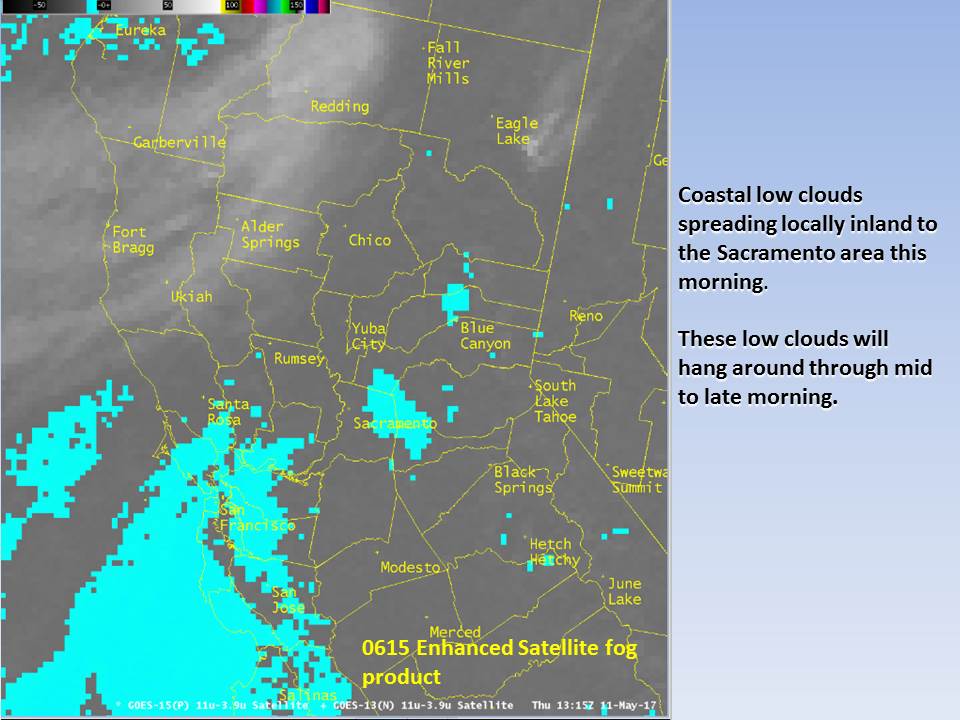
Temperatures this morning are still running a few to several degrees cooler than 24 hours ago as a weak Pacific frontal system approaches the north coast. Combination of continued onshore flow and cooler airmass will bring down daytime highs today to below normal for mid May. Marine layer this morning is at around 3000 feet deep but delta breeze has been dropping somewhat so coastal stratus is not expected to make a major intrusion into the valley this morning. Tail end of the front will drag across the north state today bringing a chance of light showers to the coast range and areas north of about Red Bluff. Any precipitation from this system will be only on the order of a few hundredths of an inch today.
Northern California will remain under the influence of an upper low through the short term period as the low shifts slowly eastward through the Pacific Northwest and northern California. Onshore flow and cool airmass will keep daytime highs a few to several degrees below normal Friday through Sunday. Shortwave troughs forecast to pivot around the low will bring a chance of light showers to the northern mountains at times. Snow levels may fall to pass levels by this Sunday but again, any precipitation is expected to remain light so impacts will be minimal.
Extended discussion (Monday through Thursday)
Models show upper low/trough exiting the forecast area Monday with a threat of lingering showers over the mountains. This to be followed by another deeper upper low that digs from the PacNW through Interior NorCal Tuesday and into the Great Basin Wednesday. Progs suggesting potential for more widespread threat of precip over the CWA Tuesday with lingering showers, mainly over the mountains, Wednesday. Some instability depicted on Tuesday which may require including thunderstorms in the forecast if trend continues. GFS showing much wetter storm than EC, especially over the Sierra Nevada Tuesday where significant snow would be possible at pass levels impacting travel.