May 12, 2017 – Below normal daytime temperatures through the middle of next week with warming by the end of next week. A slight chance of showers over the mountains through the weekend. Rain chances spreading southward Monday with a chance of showers all areas by next Tuesday. Shower threat ending by the end of next week.
Discussion
An upper level low pressure system currently off the Pacific Northwest coast will be the main weather contributor over the next few days. Marine layer this morning similar to 24 hours ago at about 3000 feet deep. Delta push not as strong as 24 hours ago so will likely not see as significant of a marine stratus intrusion into the southern Sacramento valley as yesterday morning. An upper shortwave trough now just off the NorCal coast is forecast to pivot through the north state this morning. This will bring a threat of showers to the northern mountains and Sierra with the showers threat ending over the Sierra this afternoon as the shortwave pivots east of the region. Showers will remain a threat over the northern mountains and northern Sacramento valley. At this time is does not look unstable enough for any isolated thunderstorms but if any did occur they would be over northern Shasta county where a slight instability is modeled. Temperatures will continue to cool today as the airmass cools with highs expected to come in around 10 degrees below normal for mid May.
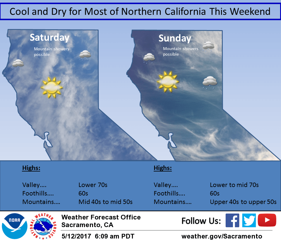
The main upper low center is forecast to push into the Pacific Northwest on Saturday. This will keep the shower threat going over most of Shasta county and keep daytime highs well below normal. Another shortwave pivoting into the main low on Sunday will dig a weak trough along the coast during the day. This weak trough will produce enough instability for some mountain showers but the valley locations should remain dry. Daytime highs may bump up a bit but still remain below normal. The trough shifts into the Great Basin on Monday allowing another Pacific low to drop out of the Gulf of Alaska and into the Pacific Northwest by afternoon. The mountains and valley areas north of about Marysville will see a threat of showers with this one with daytime highs remaining below normal.
Extended discussion (Tuesday through Friday)
Pacific frontal system progged to swing across Interior NorCal Tuesday bringing a threat of showers and possibly isolated thunderstorms. GFS continues to show higher QPF over the Sierra Nevada with potential for moderate to heavy snow impacting travel. System digs into the Great Basin Tuesday night into Wednesday keeping a threat of showers over the eastern mountains of our CWA. Drier northerly flow develops Thursday and continues into Friday as upper ridging in the EPAC builds inland.