May 8, 2017 – Warming trend with diminishing north wind early this week. Turning cooler and unsettled for the latter half of the week.
Discussion
A few high clouds are spilling through the building ridge across NorCal, and some clouds continue across the far southeast corner of the forecast area wrapping around the low now located near northern Baja California. Northerly surface gradients have weakened compared to 24 hours ago and winds are lighter across most of the area. Current temperatures are generally in the 30s and 40s in the mountains with mostly 50s to mid 60s elsewhere.
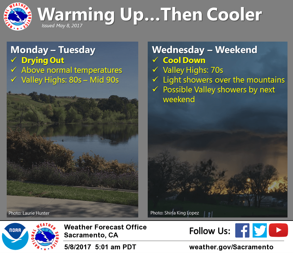
Building upper ridge will bring warming across the region early this week, and continued northerly low-level flow (though not as strong as Sunday) will result in adiabatic warming through much of the Sacramento Valley today and Tuesday. The low is expected to be too far south today for much of any chance for showers with the greater potential expected further south over the central and southern Sierra Nevada.
Cooling begins Wednesday, especially in the Delta and southern Sacramento Valley, as the ridge is displaced eastward by the next upstream trough and continues Thursday as onshore flow spreads further inland and synoptic cooling takes hold.
Best chance of showers will hold off until Thursday (and later in the week) across the far northern portion of California.
Extended discussion (Friday through Monday)
Forecast models continue to indicate an upper level trough moving into the Pacific NW coast late this week. This should result in cooler temperatures, breezy winds and a chance of precipitation generally across the northern mountains. Precipitation coverage may increase early next week, as the upper trough deepens along the West Coast. Temperatures are expected to be 5-15 degrees below average during the extended period.