March 3, 2018 – Rain and snow showers today through tonight with low snow levels. Valley thunderstorms possible today. A brief drying out period early next week will be followed by a return of precipitation mid to late week.
Discussion (Today through Monday)
The upper level low which has been bringing heavy rain and snow to the area is currently centered along the Oregon Coast. This will make its final push through northern California providing another round of widespread precipitation today through tonight. Shower coverage and intensity has decreased overnight, but is expected to increase again today, especially through the afternoon hours. Additional snow accumulations of around 4 to 7 inches are possible in the mountains by this evening, with up to a foot over higher peaks. A Winter Storm Warning remains in effect until 10 pm, when snow shower activity should be winding down in intensity.
Models continue to show some instability that will provide a chance of thundershowers over the Valley, with decent instability and dynamics by mid to late afternoon. The main threats with any storms that form will be periods of heavy rain and small hail.

Precipitation will decrease tonight as the main system begins to exit, with lingering mountain and foothill showers possible into Sunday as a shortwave trough passes through. Light snow accumulation is possible, with limited impacts. Drier weather and decreasing clouds are expected elsewhere. A ridge of high pressure will bring dry conditions and warmer temperatures early next week. By Tuesday, Valley highs should be in the mid 60s, which is slightly above normal for this time of year.
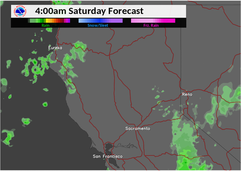
Extended discussion (Wednesday through Saturday)
Models in fairly good agreement shifting the early/mid-week ridge east allowing increasing precipitation chances to return across the region beginning Thursday. Best chances will be later Friday into Saturday as upper trough and front move through. Snow levels are expected to be higher than recent systems, generally in the 4K- 6K range.