February 26, 2018 – Active weather will continue this week with a cold, wintry storm system currently impacting the region, and a stronger one on tap later this week. The first storm system will continue to bring mountain snow through this evening, and potential for Valley thunderstorms this afternoon. The next, stronger storm system will arrive late Wednesday with precipitation continuing into Saturday. The current storm is already producing substantial snow-related impacts, and the next one likely will be even worse.
Moderate to heavy snow along Interstate 80 in the northern Sierra and continue into this evening. The average of the model plumes for snow accumulation at KBLU are now around 11 inches with a good secondary concentration of plumes around 14-15 inches, and the latest operational NAM and GFS are indicating around 16 inches. So, the latest forecast has been increased slightly.

Snow levels will be quite low with this system, so upper foothill elevations will likely see some significant snowfall (6 inches or more) as well.
In the valley, we’re going to see the first measurable rain for February at DTS as the frontal band precipitation moves through the Sacramento region and northern San Joaquin Valley during the morning commute. Isolated to scattered showers along with a few thunderstorms will be possible through the remainder of the day as the trough moves south. Valley QPF is generally expected to be around 1/4 inch or less.
A break in precipitation is expected tonight through early Wednesday as subsidence and breezy north winds develop in the wake of the system.
Another storm will spread precipitation back into the region by Wednesday night. Snow levels look a little higher than with the first storm but will still be around 2000-4000 feet. Even more significant snowfall looks likely with this storm with several feet of snow accumulation possible in the mountains.
Extended discussion (Friday through Monday)

Unsettled weather pattern continues Friday and Saturday as upper low associated with Thursdays cold front drops through the western U.S. Showers will be likely over the mountains with a chance of showers through the valley as well. Will have to keep an eye on convective indicators during this time period as valley thunderstorms will be a possibility especially on Friday. Snow levels will remain low as the airmass associated with this low is quite cool. Upper Foothill locations will likely see some snow with even a little snow possible in the northern Sacramento valley. Although snow amounts are not expected to be heavy in this showery environment Friday and Saturday, the heavier showers and low snow level environment will likely continue to create mountain travel difficulties. Daytime highs will be from 5 to 10 degrees below normal for this time of year.
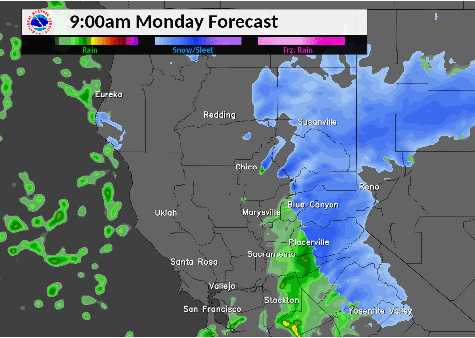
The upper low is forecast to lift to the northeast on Sunday taking the shower threat with it. Shower chances Sunday should remain confined to areas mainly northeast of Marysville and daytime highs should begin to warm up a bit although are still forecast to come in several degrees below normal. Upper ridging will bring the start of a dry period on Monday which is expected to last through at least the middle of next week with daytime highs Monday pushing up close to normal.