September 7, 2017 – Cool down continues today. Shower and thunderstorm chances for the next several days, especially over the mountains. Temperatures warming back up for the weekend.
Discussion
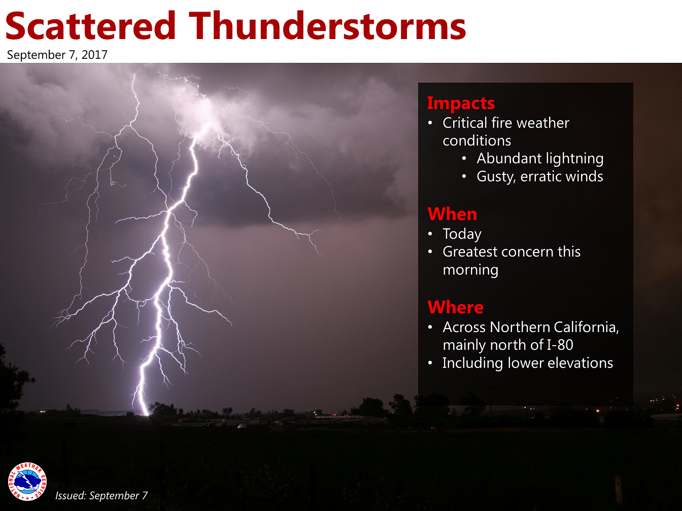
Thunderstorm development began around 3 am this morning, primarily in Tehama and Glenn counties. The lines of thunderstorms are moving northwest and extend from the I-5 corridor towards the coastal range. Brief heavy downpours, small hail, gusty winds, and lightning are all possible with these storms. If you hear thunder, stay sheltered.
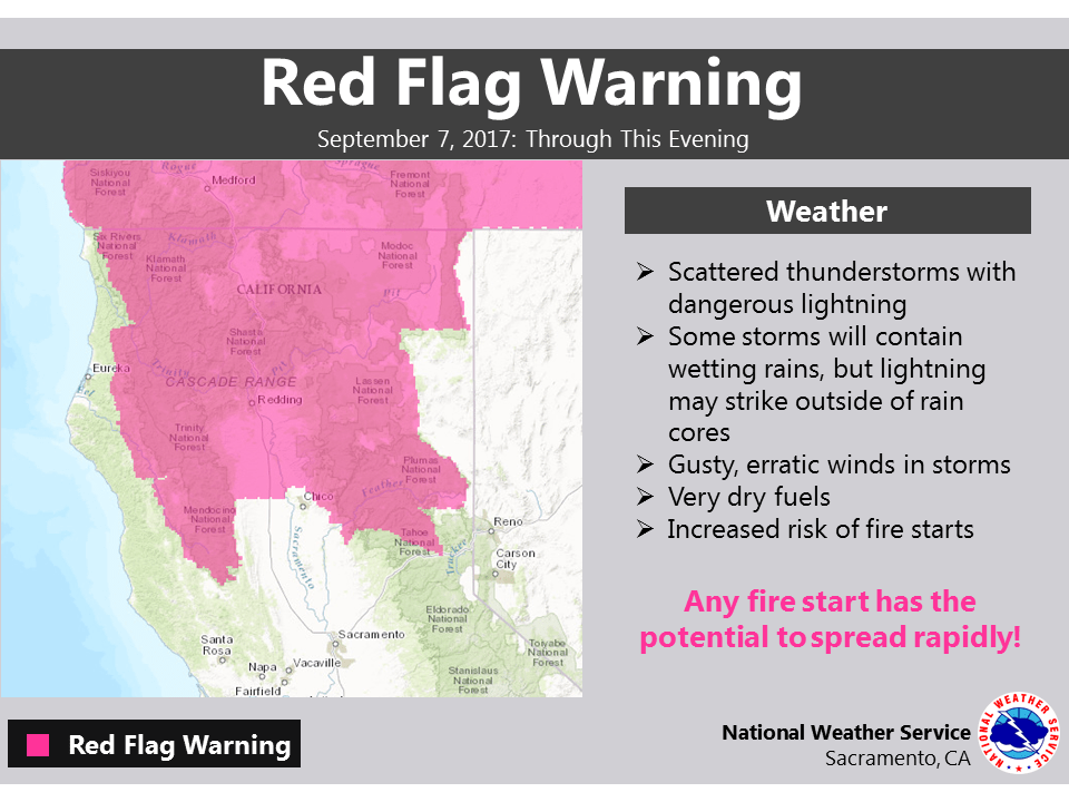
Chance for additional shower and thunderstorm activity continues through this evening. Best chance for thunderstorms will be over higher terrain and in the valley north of I-80. Residents, please remember that fuels are very dry after the heat from June through now. Any lightning has the potential to cause fire starts in our region and a Red Flag Warning is in effect. Watch for smoke and have a plan in case you need to evacuate quickly.
The low pressure system that has moved inland with the remnant moisture of former Tropical Storm Lidia is creating the unstable conditions for our thunderstorm activity today. This low will linger into the weekend and maintain a chance of thunderstorms – however, activity shouldn’t be as widespread as forecast for today and should primarily be over higher terrain.
Enjoy the relative “coolness” of today with valley highs in the low to mid 80s and 60s to 70s in the mountains. Starting Friday and through the weekend, daytime highs will increase by several degrees each day. By Sunday, valley highs will be back into the mid 90s to low 100s. JBB
Extended discussion (Monday through Thursday)
Closed upper low mentioned above will continue to rotate off the central California coast into next week. Monsoonal moisture may be drawn north around the low, with shower and thunderstorms chances across the mountains each afternoon/evening. Above normal temperatures for Sunday and Monday with northern Sac Valley hovering around the 100 degree mark.
Large model differences apparent by Tuesday with ECMWF moving low onshore into NorCal Tuesday while GFS keeps low further south off the coast and doesn’t move it onshore until the end of next week. These differences lead to uncertainty in thunderstorm coverage past Monday so have continued low chances along higher elevations for now. This may also have some effects on temperatures as well, depending on which solution verifies. Cooling trend expected when low does push onshore.