May 10, 2017 – Cooling trend is underway with temperatures lowering to below average into next week. Increasing chance of showers, especially over the mountains, by early next week.
Discussion
Skies are mostly clear across interior NorCal early this morning except for some high clouds moving across the far north and some stratus impinging on the Carquinez Strait. A moderate to strong Delta Breeze is underway as the upper ridge has begun shifting east and the marine layer is deepening along the coast. Current temperatures are a little milder compared to 24 hours ago across most of the region with the exception of areas influenced by the Delta Breeze where it is slightly cooler from the Delta into the Sacramento region.
Around 5-15 degrees of cooling is expected across interior NorCal today as onshore flow spreads inland and some synoptic cooling takes effect with the approach of the offshore trough. Even cooler temperatures are expected on Thursday, readings are expected to drop below average by Friday. A few late-day showers or thunderstorms may occur in the Sierra south of Lake Tahoe.
A cold front moves thru NorCal Thursday/Friday with precipitation expected to be mainly confined to the Coast Range, the southern Cascades, and the northern Sacramento Valley. Precipitation amounts are expected to be limited.
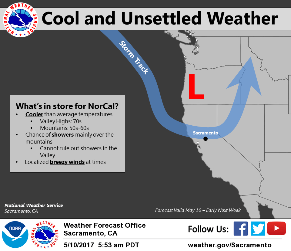
Extended discussion (Sunday through Wednesday)
Upper trough over the western US will lead to mountain showers and cooler temperatures this weekend into early next week. Shower activity will increase in coverage early next week as the closed low moves into the Pacific Northwest. Extended models disagree in terms of how fast the trough axis will begin to shift to the east, with the ECMWF being the fastest. Therefore, have lowered PoPs by the end of the forecast period given model uncertainty. With the large upper system over the West Coast, temperatures will remain cooler than average during the extended period. Breezy winds will be possible at times.