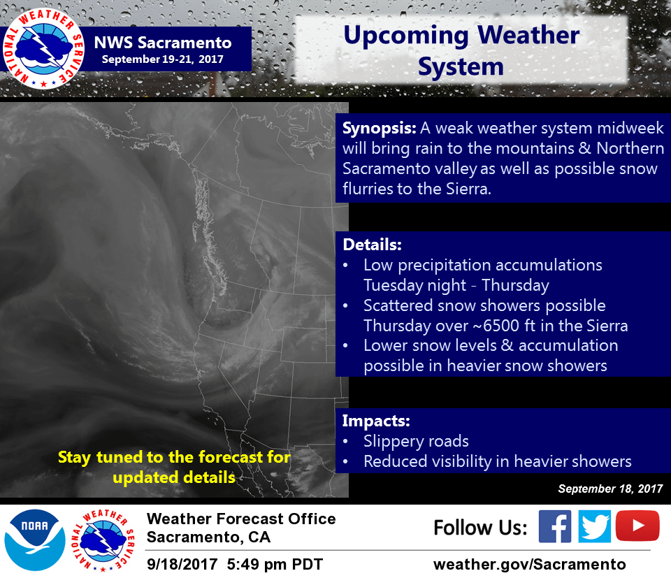
September 19, 2017 – The upcoming weather system will bring low precipitation amounts to the mountains & Northern Sacramento Valley and light snow showers to the Sierra crest.
Discussion
Initial frontal system remains draped across NorCal early this morning with satellite imagery showing lots of high clouds over the region slowly moving south. There are low clouds along the west slopes of the northern Sierra, and only very spotty light amounts of precip have been reported at a few gages along the crest.
Temperatures are cooler across most of the area compared to 24 hours ago, though they are milder in many of the mountain valleys due to the cloud cover. Current readings range from the mid 30s to mid 40s in the mountain valleys to the lower 60s in the milder portions of the Central Valley.
Little if any precip is expected across the region today as we’ll be in between systems as the current trough shifts east and the next upstream one moves down the BC coast.
A better chance of showers will return later tonight and continue into Thursday as a deep trough and associated frontal system move in. The best chance of precipitation will remain over the mountains and over the northern Sacramento Valley, but a chance of showers may spread south through the foothills and possibly the Sacramento region Wednesday afternoon as the next front moves south.
As cold air drives further south, snow levels will drop to 5500-6500 feet, so some light snow accumulations could be possible late Wednesday night into Friday over the mountains.
Temperatures will continue to trend downward through Thursday with highs forecast to be around 10-20 below average. Moderating temperatures are expected heading into the weekend.
Extended discussion (Saturday through Tuesday)
High pressure returns to northern California this weekend with dry conditions and a warming trend to the afternoon temperatures. High temperatures Saturday will remain below normal, but temperatures Sunday into early next week will return to normal or slightly above normal. Breezy valley and ridgetop winds can be expected for the weekend and into next week.