May 11, 2021 – Breezy north winds and dry conditions will lead to another day of critical fire weather conditions. The warming trend continues through mid- week. Lighter onshore winds and cooling temperatures are expected for late week. Some mountain showers and thunderstorms are possible for the weekend.

Discussion
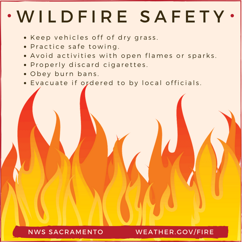
Critical fire weather conditions today and hot temperatures are the main weather issues through the short term. The Red Flag Warning remains in effect for the west side of the Valley and areas below 2000 feet as breezy north winds hold and warm and dry conditions prevail.

Gusts will generally be in the 20 and 30 mph range; however, favored gaps and canyons may observe gusts up to 35 mph at times this morning. Thankfully, the trough that brought us gusty winds the last few days will continue to push eastward which will allow the winds to ease.

In addition to fire weather concerns, increasing temperatures will be observed for the first half of the week. Widespread low to mid 90s are expected for the Valley on today and Wednesday. Wednesday should be the hottest day of the week for most areas, except for Delta influenced locations such as the Sacramento metro area, which could see highs a couple degrees lower than Tuesday. In terms of Heat Risk, there are areas of orange/moderate heat risk forecast for portions of the Valley and foothills, especially by mid week. Be sure to practice heat safety.
Onshore flow and the Delta Breeze are anticipated to set up on Wednesday and should bring some relief to the Delta and the Sacramento area. Overnight temperatures there are forecast to drop into the low to mid 50s.
By Friday guidance shows troughing setting up over the West Coast. This should bring a reprieve in temperatures for much of northern California.
NBM guidance hints at a slight chance of showers and thunderstorms over the mountains Friday night into Saturday. Timing and location may change with this feature and associated light precip, while cooler weather remains likely.
Extended discussion (Saturday through Tuesday)
Ridging centered over the eastern Pacific forecast to weaken briefly over NorCal on Saturday as a system quickly drops southward. The system will close off to our south late in the weekend and early next week as high pressure rebuilds over NorCal.
A brief cool down will be possible Saturday along with a few late day showers and thunderstorms over the northern Sierra. Dry weather and a little warmer temperatures return early next week.