
September 12, 2016 – Cooling trend early this week with a few mountain showers or thunderstorms. Dry with temperatures warming back above average after mid-week.
Red Flag Warning from 2 PM this afternoon to 11 AM PDT Tuesday for Eastern Mendocino NF-Eastern Portion of Shasta/Trinity NF- Northern Sacramento Valley to Southern Tehama County Line Below 1000 Ft-Northern Sierra Foothills from 1000 to 3000 Ft. Includes portions of Shasta-Trinity and Butte Units-Southeast Edge Shasta- Trinity NF and Western Portions of Tehama-Glenn Unit.
Discussion
Mostly clear skies across interior NorCal early this morning except for some mid-clouds over far northeast CA along the cold front.
Strong onshore flow continues and the marine layer is deepening (now around 2500 ft at Fort Ord). Satellite imagery shows some stratus developing to the west of Yuba City and a narrow area moving into the Sacramento region. Expect we’ll see these areas of stratus in the valley expand and become more extensive around sunrise.

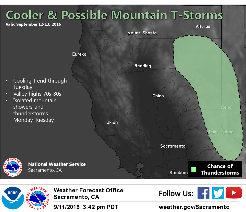
The trough will deepen along the West Coast today and early Tuesday. The cooling trend will continue and temperatures will feel more fall-like than summer (pre-fall pattern). The trough is mostly dry but will bring some chances for showers and thunderstorms in the northern Sierra along with breezy conditions. A touch of early-season snowfall may occur along the Sierra crest south of Tahoe on Tuesday.
The low will move eastward later Tuesday and Wednesday with dry and warmer conditions returning. Temperatures are expected to be back around seasonal averages by Thursday.
Extended discussion (Friday through Monday)
Above normal temperatures are expected for the latter half of this week and next weekend as high pressure reasserts itself over Northern California. Expect high temperatures to reach the upper 80s to mid 90s across the Valley in this timeframe.