Significant warming expected by midweek with periods of gusty winds. Unsettled weather possibly returns to Northern California late in the week.
Discussion
Precipitation is starting to reach far northwestern California early this morning as seen on radar. These showers are associated with a low pressure system forecast to dip into the Great Basin early this week. HRRR simulated radar shows little shower activity penetrating interior portions of Northern California. However, the NAM3K shows more potential shower coverage slightly further inland with a few showers over the northern Sierra. Models are in agreement that overall accumulations are expected to be light with minimal impacts anticipated.
Increased onshore flow is also being observed through wind prone gaps along the eastern foothills of the Coastal range with gusts of 20 to 45 mph being reported in the breeziest locations. Onshore winds are forecast to increase through the day with the Sierra Crest seeing gusty conditions developing by this afternoon.

Forecast surface pressure gradients are expected to peak early Tuesday. Amplified shortwave ridging is forecast to build into the region as the low tracks east leading to breezy northerly winds with gusts up to around 30 mph through the Valley Tuesday.
Ridging will also lead to a warming trend across the region with highs on Wednesday reaching into the 90s for much of the Valley. Dry conditions are also anticipated.
Extended Discussion (Friday through Monday)
Potential for unsettled weather returns to the region this weekend. Uncertainty exists with this next system, however cluster analysis is in agreement about a broad low pressure system tracking through the western US this weekend.
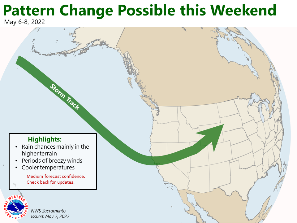
Breezy winds, mountain showers and cooler temperatures will be possible. Best chances for showers will likely be over the higher terrain.