November 12, 2021 – Dry and mild weather pattern into early next week with areas of late night and morning valley fog.
Discussion
Other than a few high clouds skirting far northern California, skies are clear across the region early this morning. IR difference imagery shows fog continuing to brew across the Central Valley, and it’s more extensive than 24 hours ago as the northerly breezes have decreased across most of the Sacramento Valley.

Fog will continue to become more extensive through the Central Valley through the early morning hours and a Dense Fog Advisory has been posted through 10 AM for much of the valley south of Red Bluff.

Not much change expected in the overall pattern through the weekend as the anomalously strong ridge remains over the area. Late night and morning fog is expected to be quite extensive through the Central Valley (though will be dependent on how much north wind returns to the Sacramento Valley), and in the mountain valleys.
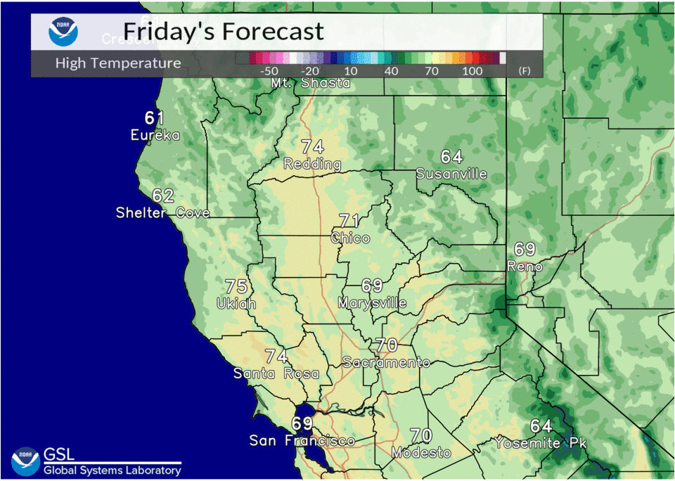
Temperatures will continue to be mild, especially in the foothills and mountains beneath the strong subsidence inversion. Valley temperatures will be a little tricky as they will depend on the amount of mixing from day to day and will range from around 60 in areas that don’t mix out up to about 70 for areas that do.
The ridge weakens early next week as a trough passes to the north late Monday. A few showers will be possible in the northern mountains Monday night as the system moves through. The system will initiate a cool down in temperatures and may disrupt the fog pattern.
Extended Discussion (Tuesday through Friday)
Ridging begins to break down Monday into Tuesday as a system passes to the north. This may bring some light precipitation, mainly to the northern mountains overnight during this period. A slight cooling trend is expected with highs returning to around average. Ensemble guidance and clusters indicate much uncertainty in the overall pattern by the end of next week.