November 11, 2021 – Dry and mild weather pattern into early next week with areas of late night and morning valley fog.
Discussion
IR difference imagery shows a strip of fog and low clouds along the east side of the Central Valley, extending from about the Oroville area southeast into the San Joaquin Valley. Light northerly wind is limiting fog development across the remainder of the Sacramento Valley. Otherwise, skies are clear except for a few high clouds spilling through the building ridge.
Current temperatures are running a little cooler compared to 24 hours ago through much of the Central Valley where readings are in the upper 40s to lower 50s. However, the foothill and Sierra thermal belts are much milder with many locales running 5-15 degrees milder than early Wednesday (a sign of the strengthening subsidence inversion over the area).
Strong ridging will maintain dry and mild weather across the region through the weekend. The pattern will be favorable for areas of night and morning valley fog with the extent dependent on the amount of north wind through the Central Valley (it`s looking like it could be more extensive Thursday night). Enough mixing is expected to clear the fog and low clouds from the valley by late morning to early afternoon each day.

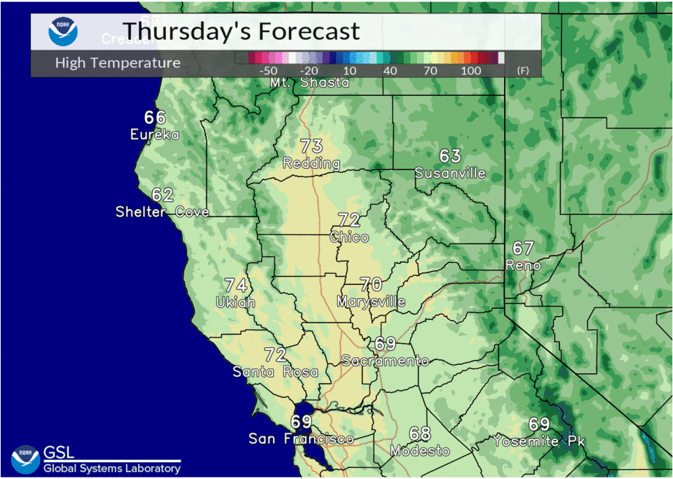
Highs will be around 5 degrees above average in the Central Valley, with readings around 10-15 degrees above average over the foothills, mountains and northern Sacramento Valley.
Extended Discussion (Monday through Thursday)
Ensemble analysis indicates the the ridge will begin to shift east and flatten across NorCal early next week. A trough passing to the north may bring some very light precipitation to the northern mountains late Monday into early Tuesday, otherwise the dry weather pattern continues. Temperatures will cool to around average by mid-week.