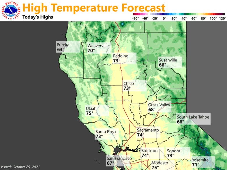
October 29, 2021 – Dry and mild weather today with patchy dense morning fog. A weather system moving over the far northern portion of California will bring a chance of showers late Friday and Saturday, mainly to the northern mountains and northern Sacramento Valley. Rain returns to Northern California early next week.
Discussion
Upper ridge has shifted Ewd into the Great Basin and the flow aloft has turned SWly in advance of a closing mid-level low pressure center near 40N/130W. Though large scale subsidence has weakened with the passing ridge, clear skies, light winds, high humidity from recent rains trapped below the shallow radiative inversion will result in patchy dense morning fog in the Central Valley and mountain basins. The HREF probability of VSBYS and CIGS progs indicate a likely chance of IFR weather from Turlock Nwd towards KMYV with slightly lower chances towards CIC this morning, and extending Wwd into Solano Co. Have outlined this area for a Dense Fog advisory and covers portions of some major thoroughfares in our region.

Models have trended toward a similar solution with the track of the closed consolidated low as it nears the Nrn CA coast tonight, and then lifts slowly into OR over the weekend. This track was preferred earlier as the GFS was seemingly too far S and faster than the ECMWF given the 5H Cluster analyses we looked at yesterday. Forecast water vapor transport shows NorCal in between moisture plumes so just light QPFs are expected mainly over the Nrn mountain zones. However, the slower movement of the closed low and lingering cyclonic flow over the Nrn mtns will mean PoPs/QPFs will linger into Sun. The SREF QPF plumes show a mean of nearly 0.40″ at MHS, and around a tenth of an inch at RDD, a little wetter than yesterday.
NAM 3km CAM shows some convective cells developing around RDD Nwd early Sat morning as the consolidated low nears the CA/OR border. Most of the showery wx should lift Nwd into OR later Sat and Sun, although some lingering showers are expected over the Nrn mtns due to the lingering cyclonic flow aloft.
A narrow highly amplified ridge builds along the W Coast on Sun while the cut-off low fills/exits our area. 5H heights and warming are suppressed in our CWA by the filling low center over OR and by the progressive Pacific trough and front which is forecast to move inland on Mon bringing cooler temps and another round of precip to interior NorCal.

Temperatures will cool to around 5 to 10 degrees below normal Saturday and Sunday, and then 7 to 14 degrees below normal on Mon. Since the rain will hold off until Mon in our CWA, dry weather is expected for Halloween trick or treaters.
Extended Discussion (Tuesday through Friday)
Drier weather forecast Tuesday into early Wednesday as upper level ridge moves through. Next Pacific storm expected Wednesday into Thursday, however model differences exist with depth and speed of progression of the wave. Widespread light to moderate rain expected.
Snow levels remain above pass levels Wednesday, lowering to around pass levels Thursday. Another system possible towards the end of the week, but model differences are even more significant with timing. Forecast leans toward drier NBM/EC solutions with upper level ridging in place Friday. Below normal high temperatures expected through the extended forecast period.