May 17, 2017 – Dry and warmer weather returns for the remainder of the week with NorCal’s first triple digit heat possible early next week.
Discussion
System has shifted south and east of the area. Skies have cleared out across most of the region, however clouds continue to linger early this morning along the foothills and west slopes of the northern Sierra Nevada. Current temperatures are cooler compared to 24 hours ago and range from the 30s in the mountains to the 40s and lower 50s elsewhere.
Increased subsidence on the backside of the trough (and ahead of the building ridge over the eastern Pacific) will help to clear out remaining clouds and will result in warmer temperatures across the region today. Northerly breezes are also expected to pick up today through the Central Valley.
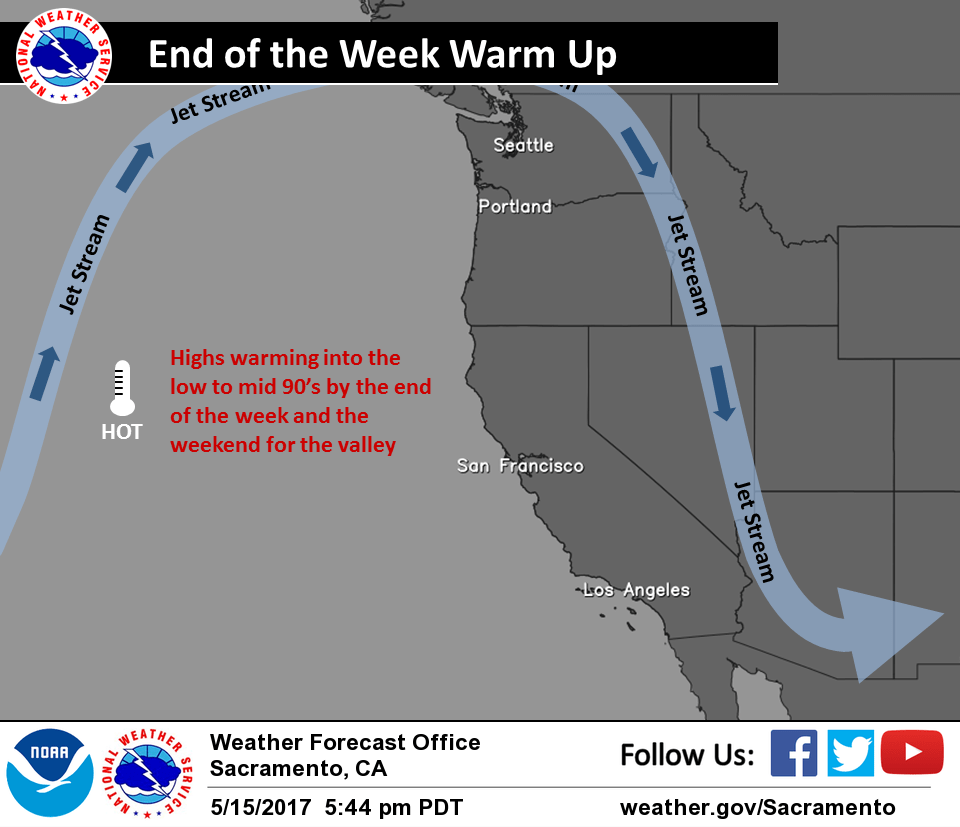
Progressively warmer temperatures are expected through the remainder of the week as high pressure builds across the region. About 5-10 degrees of warming is expected each day through about Friday.
Extended discussion (Sunday through Wednesday)
Strong high pressure over the eastern Pacific will continue to bring hot conditions across the region early next week. Current guidance still suggests the potential for triple-digit heat across the northern portions of the Sacramento Valley, which would be the first time this year. Forecast high temperatures during this time frame are on the order of 15 to 20 degrees warmer than normal.
The potential remains for a few afternoon/evening showers and thunderstorms to form along the high Sierra Sunday into Tuesday. The best chance of these thunderstorms will remain at and south of Lake Tahoe.