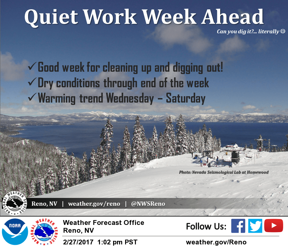
February 28, 2017 – Dry weather with warming trend through the end of the week.
Discussion
Northwest flow and subsidence behind yesterday’s trough has resulted in clearing skies across much of the region, and showers over northwest California have been dissipating as them move inland. The exception is persistent clouds that remain along and east of the Sierra/Cascade crest. Temperatures are on the chilly side and generally range from the single digits to mid 20s in the mountains, and 30s to lower 40s elsewhere.
High pressure will build across the region into mid-week with dry weather. Temperatures will warm with valley highs back into the 60s by Wednesday, 50s for the foothills, and 30s and 40s across higher elevations. Clear skies overnight will continue chilly morning lows with perhaps a few patches of frost in the Valley.
Ridge forecast to shift east Friday as a deeper trough moves into the Gulf of Alaska. Mid and high clouds expected to be on the increase, though precipitation chances will likely hold off until the weekend.
Extended discussion (Saturday through Tuesday)
Wet pattern returns this weekend as an upper low drops out of the Gulf of Alaska and into the eastern Pacific. Precipitation spreads over the north state on Saturday but remains generally north of interstate 80. Precipitation spreads southward on Sunday as a frontal band pushes across the north state with all areas of the CWA under at least a threat of rain or snow. Snow levels with this cool system will be moderate so higher passes of the Sierra will be impacted. Still too early to estimate rain and snowfall amounts as models vary fairly significantly on how much moisture this system contains. Flat upper ridging builds a bit over the west on Monday pushing and precipitation chances northward to around Shasta county while the rest of the CWA remains dry. Looks like another round of precipitation hits Norcal next Tuesday as another Pacific storm system moves into the north state. Timing differences exist between models so adjustments in timing and precip amounts will be needed. Overall, daytime highs through the extended period should be fairly close to normal.