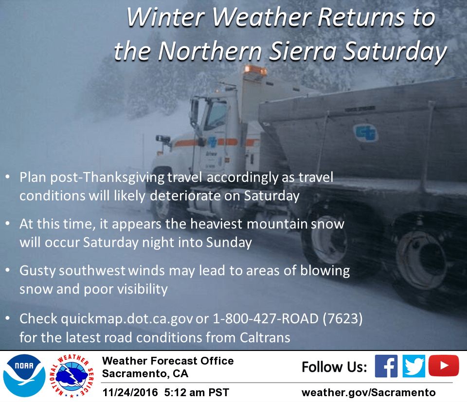
November 24, 2016 – Dry weather today and Friday, then another cold system is forecast to affect the region over the weekend bringing widespread rain and mountain snow. Timing and precipitation amounts are still uncertain at this time so stay tuned for updates.
Discussion
Mainly clear skies expect for some high clouds moving across the far northern part of the state early this morning. Only patchy morning valley fog is expected. Temperatures are running around 10-15 degrees colder compared to 24 hours ago and are generally in the teens and 20s in the mountains and mid 30s to mid 40s elsewhere.
Today will be dry for the holiday with highs around average for late November.
Another weather system will move along the coastal range late Thursday night and Friday morning. Some rain may also impact the north end of the valley during the day on Friday but for the most part places south and east should remain dry during the daytime as the system splits well off the coast. Both GFS and NAM models indicate the split and slowing the timing of when the system will move inland and keep any precip to the west of the interior thru Friday evening.
The models also differ on where the southern split of the system will move. The NAM moves it south of the area while bringing the northern portion inland Saturday night while the GFS brings the southern part of the split system over the interior on Saturday.
Timing and precipitation amounts of course are highly uncertain with this next system. Stay tuned for updates over the next day of so when hopefully the models will come into better agreement.
Extended discussion (Monday through Thursday)
With the trough axis to our east, there’s a slight chance for lingering mountain showers and some lake effect snow near Lake Tahoe on Monday. With northeasterly flow in the forecast, light snow may impact our CWA along our Sierra border with Reno’s forecast area.
Otherwise, dry conditions expected for Monday into Tuesday as ridging builds along the West Coast. Daytime highs should be near to slightly below normal on these days. Another trough is forecast to either brush far NorCal (ECMWF model) or dig southward towards central California (GFS model) around Wednesday of next week. Have limited chance of precipitation to the Northern Sacramento valley and surrounding mountains with snow levels at 4000-4500 ft. Confidence is low on the details of this storm since model discrepancy still exists.