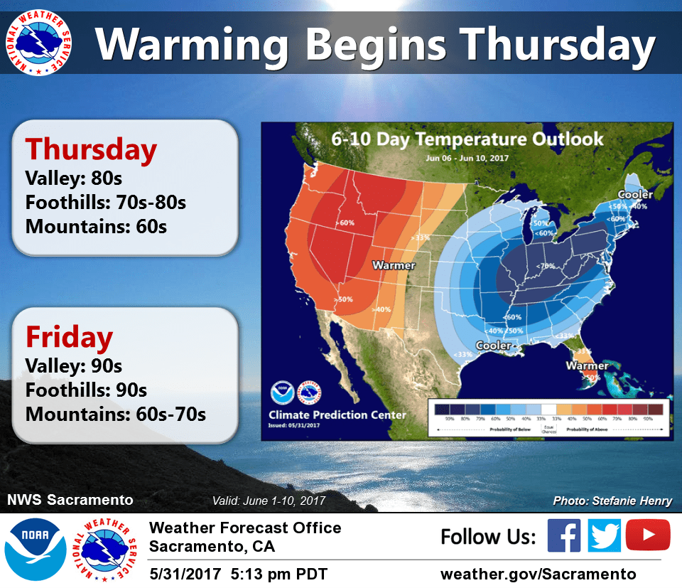
June 1, 2017 – Dry with warming temperatures through the end of the week. Cooler early next week with a slight threat of showers northern mountains Sunday afternoon and evening. Dry with a warming trend next week.
Discussion (Today through Saturday)
Shortwave trough moving through the Pacific Northwest at this time bringing some high clouds to the northern most state this morning. The remainder of the forecast area is under fair skies under building high pressure over the west coast.
Daytime highs warm today up to just above normal for this time of year. Daytime temperatures warm again on Friday as upper ridge builds over the western U.S. Marine layer fairly squashed down this morning at around 1000 feet and will likely remain fairly low under upper level high pressure ridge the next few days.
Therefore, nighttime coastal stratus intrusion into the delta and valley should be minimal. Upper ridge axis shifts inland on Saturday allowing the start of a brief cooling trend.
By Sunday, temperatures drop to right around normal for this time of year. A weak shortwave trough moving into the Pacific Northwest will bring a threat of showers to the far north state Sunday through Sunday evening.
Extended Discussion (Monday through Thursday)
Temperatures will warm through mid week as high pressure ridging builds. Valley highs in the low 90s expected Monday, the mid to upper 90s for Tuesday and Wednesday. Gusty northerly winds expected Monday and Tuesday in the Valley as surface high pressure builds to the north. Slightly cooler temperatures are expected late in the week as the ridge shifts eastward and a trough brushes by to the north.
Dry weather is expected through next week, though some light precipitation may be possible over far northwest California Thursday night with the trough.