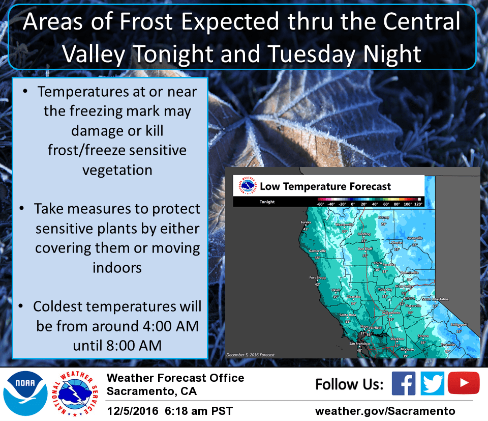
December 5, 2016 – A weather disturbance will bring a slight chance of showers to the mountains thru Tuesday. A colder air mass associated with the system will result in near to below freezing overnight temperatures across the Central Valley tonight and Tuesday night. A potentially stronger system will move into the region later this week.
Discussion
Mostly clear to partly cloudy skies cover interior NorCal early this morning as northwest flow continues. Some patches of fog cover much of the Central Valley as winds are generally light and dew points have inched up a bit in many areas. Temperatures are rather chilly, in the upper teens and 20s in the colder mountain areas and mainly 30s elsewhere.
Weak dry cold front is moving south through the region currently. Northerly winds will pick up a bit through the Central Valley today as the front moves south. This should end any remaining valley fog during the morning.
Another shot of cooler air will move into the region tonight and Tuesday as another weak system clips us as it drops down in northwest flow. A few snow showers are expected in the mountains before tapering off by early Tuesday evening. The main impact is expected to be the coldest temperatures so far this season with large parts of the Central Valley expected to see minimum temperatures drop to around freezing tonight and Tuesday night.
The next more impactful system is expected beginning Wednesday night and continuing through the end of the work week and has the potential to bring a return of more widespread precipitation and gusty southerly winds.
Extended discussion (Friday through Monday)
Precipitation will continue interior northern California during the day on Friday as a swath of decent precipitable water (PW) values of 1.3 to 1.5 inches streams in over the Bay Area. Given the amount of moisture this system brings along the Atmospheric River, we could be looking at some heavy rainfall, especially for the Sierra locations. Additionally, as indicated by the high PW values, we expect this system to be warm with relatively high snow levels of 5000ft up north to near 7000ft over Sierra Friday, and lowering overnight.
By Friday night, the heaviest precipitation should be beyond us as the jetstream and moisture tap shifts just south of the area with post frontal showers continuing. Generally zonal flow should continue for Saturday into Monday with a chance of light precipitation remaining over the area.