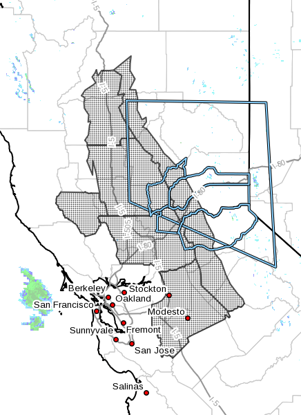
December 5, 2016 – The National Weather Service in Sacramento has issued a freeze watch below 2000 feet elevation, which is in effect from late Tuesday night through Wednesday morning. Subfreezing temperatures possible Tuesday night into Wednesday morning.
A Canadian airmass moving into the region will bring cold overnight temperatures the next couple of nights. Tuesday night into Wednesday morning will likely be the coldest night, with subfreezing temperatures possible across much of the Central Valley. Temperatures this cold may damage plants and pipes if left unprotected.
* Temperature…28 to 32 degrees possible late Tuesday night into Wednesday morning.
* Impacts…Temperatures this cold may damage plants and pipes if left unprotected.
Precautionary/Preparedness Actions
A freeze watch means sub-freezing temperatures are possible. These conditions could kill crops and other sensitive vegetation. Take precautions to protect exposed pipes, pets, and livestock.
Impacts
- Below freezing temperatures and frost may damage plants and pipes
- Travel delays due to slick roads and mountain snow. Snow levels may start low on Wednesday before rising on Thursday
- Localized roadway flooding with leaf clogged drains
Forecast Confidence
- High confidence in low temperatures
- High confidence in wetter weather, but low confidence in precipitation totals

Timing and Strength
- Cold weather
- Monday and Tuesday night. Coldest Tuesday night
- Wetter weather
- Light precipitation Wednesday. Heavier precipitation possible Thursday into Friday. See YouTube video for latest forecast timing
- Snow levels may start around ~1000 feet along Interstate 5, ~3000 feet along Interstate 80 / Northern Sierra on Wednesday. Snow levels expected to rise Thursday.
- See graphics for forecast precipitation and snow totals
Weather Summary
Cold weather is expected the next couple of mornings, and may bring areas of frost to the Central Valley. Tuesday night should be the coldest night across the region. A series of weather systems will then bring rain and snow across much of the region Wednesday through Saturday. Snow levels are expected to start rather low, then rise on Thursday. The forecast trend has been to shift the heaviest precipitation band south of Interstate 80.