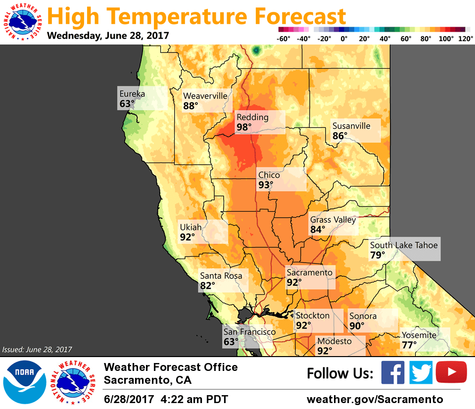
June 28, 2017 – Near average temps through mid-week followed by a warming trend.
Discussion
Clear skies across interior NorCal early this morning. Current temperatures are running about the same as 24 hours ago as a moderately strong Delta Breeze continues. Readings generally range from the mid 30s to mid 40s in the mountain valleys to mainly the 50s and 60s elsewhere, except around 70 over the northern Sacramento Valley.
Marine layer is around 2000 feet and it looks like there could be some patches of stratus making it inland into the Sacramento region again this morning. Otherwise, a little warming is expected today as ridging from the eastern Pacific moves over NorCal. This will suppress the marine layer weakening onshore flow and resulting in modest synoptic warming.
Gradual warming continues into the weekend with triple digits expected to return to the northern Sacramento Valley on Thursday then gradually become more extensive heading into the weekend.
Short-wave forecast to move thru NorCal early Saturday, but the airmass will likely be too dry to support deep convection. Its quick movement thru the region will likely limit cooling potential other than initiating a stronger Delta Breeze again later Friday.
Extended discussion (Sunday through Wednesday)
Dry weather is expected to continue through the extended period. A slight cooling trend is currently projected as a broad upper trough over the Pacific Northwest deepens. Forecast temperatures are still projected to remain at or above normal through this timeframe.