Hot and dry weather this week with moderate heat risk during the middle of the week. Increasing chances of late day Sierra thunderstorms late in the week. Heat Advisory in effect through 8 PM Thursday.

Discussion
The large area of high clouds over NorCal continues to slowly lift north as deeper moisture moving around the periphery of the high (centered over Nevada) moves up from the southeast well offshore. There is some deep convection embedded in the moisture flow evident from some enhancement on IR and occasional lightning. Active weather associated with this moisture will remain well to the west of the forecast area today as the cutoff low that’s been parked off the coast finally opens and lifts out brushing the far northwest corner of the state late today.

Surface pressure gradients are similar to those of 24 hours ago, and the marine layer remains very shallow with stratus mainly confined to the immediate coast. Current temperatures are very mild, ranging from the upper 60s to lower 80s through the Central Valley (around 5-10 degrees milder compared to this time early Monday).
Strong high pressure will remain over NorCal through the remainder of the week. 850 mb temperatures peak in the mid to upper 20s C today through Thursday, then are forecast to drop a bit on Friday.
Highs the next three days will be around 10-15 degrees above average. Smoke from wildfires burning over far northern California may work its way south tonight and Wednesday and could shave a few degrees off highs during the second half of the week.
Overnight lows will remain very mild the next several nights. Widespread moderate to high heat risk (locally very high) will persist through Thursday.

Strong heating over the Central Valley will result in a decent push of westerly breezes late this afternoon and this evening over the Coast Range and along the western edge of the Central Valley. This pattern may reoccur on Wednesday, but likely not quite as strong.

A short-wave forecast to pass to the north on Friday may induce stronger onshore flow bringing a little cooling for Friday, and better overnight cooling for Friday night/early Saturday.
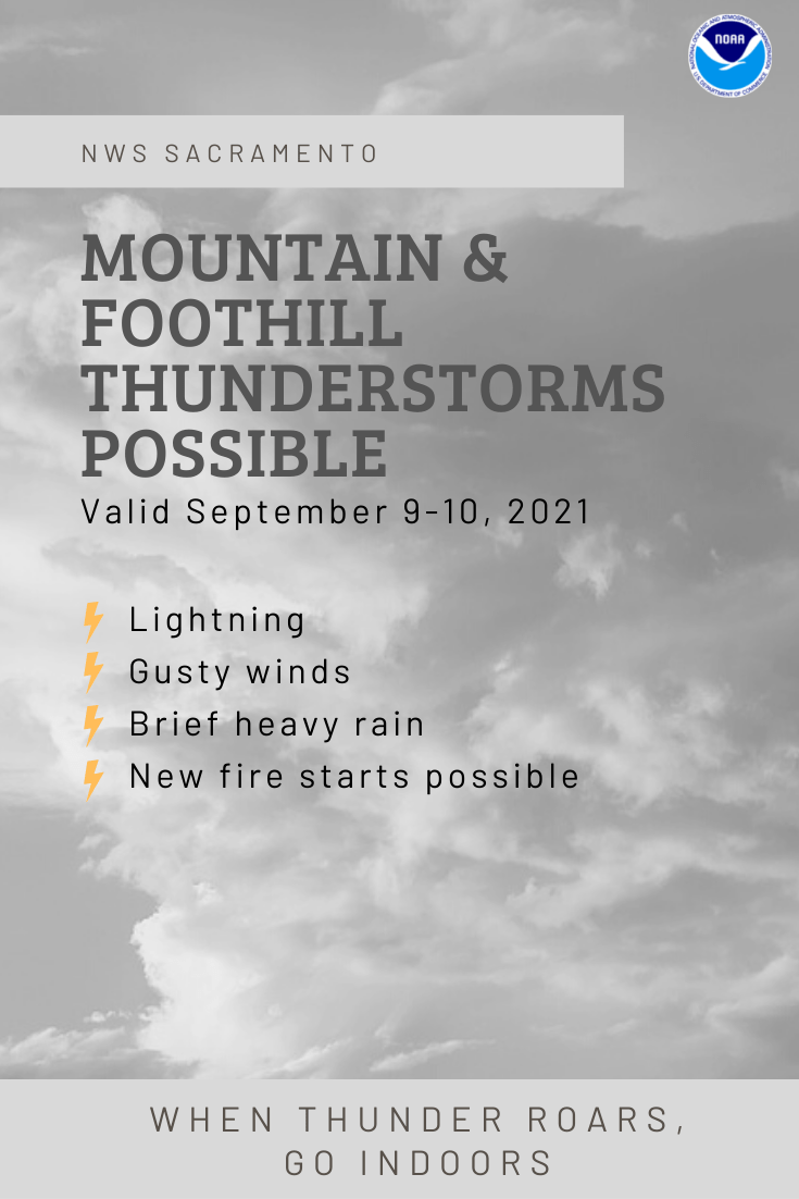
A few late day thunderstorms will be possible over the northern Sierra south of Tahoe late this week (Thursday and Friday).
Extended Discussion (Saturday through Tuesday)
Ensemble guidance shows upper level flow becoming more zonal over West on Saturday, breaking down the high pressure ridge. This will cause temperatures to cool a few degrees from Friday.
Cluster analysis then suggests a shortwave trough may move over the PacNW and northern California on Sunday with fairly zonal flow returning for early next week. However, there is still significant uncertainty in depth and location of this wave.
Overall, this shortwave will allow temperatures to keep cooling, reaching near normal by Sunday. Temperatures in the extended period are forecast in the low to mid 90s across the Valley, and 60s to 80s for the mountains and foothills. Locally breezy onshore/westerly flow may be possible as the the wave passes over the area, mainly over the mountains.