Moderate heat risk is expected through much of this week into the weekend. Mostly dry weather forecast except for a chance of isolated mountain thunderstorms Wednesday through Saturday.

Discussion
Fairly warm temperatures are being observed early this morning across portions of interior Northern California. As of 2 am, most Valley and foothill locations have only fallen to the 70s to mid 80s. The exception is the Delta region into the Sacramento area have fallen into the 60s as a healthy Delta Breeze is bringing cooler marine air to these areas.
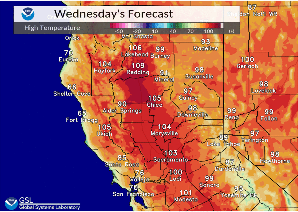
Strong high pressure continues to build over the West Coast today through the end of the week, with the ridge axis slowly moving east into the Great Basin region for the weekend. This will keep temperatures anywhere from 5 to 15 degrees above daily normals into the weekend. Overall, daytime temperatures are forecast to peak in the upper 90s to 108 degrees in the Valley and foothills and 70s to 90s in the mountains. Today is likely to be the warmest day for most of the area, with temperatures decreasing just a few degrees late week. These conditions will create widespread moderate heat risk with locally high heat risk which could cause heat impacts for those who are sensitive to the heat and those who spend time outdoors.
Anticyclonic flow will bring monsoon moisture into Central and Northern California from the Desert SW today through Saturday. This will bring an increased chance of isolated mountain thunderstorms each afternoon and evening. Today’s thunderstorm chances remain limited to near the Sierra crest south of Highway 50.

A more potent push of monsoon moisture also potentially mixed with the remnants of TS Kevin is forecast to move into the area tonight into tomorrow and again on Friday. This will spread mountain thunderstorm chances north through the Sierra and into the southern Cascades and Coastal Range. Convective potential is expected to remain at the higher elevations near the mountain crests. Elevated instability parameters remain limited for convection at the lower elevations, but cloud cover will increase across the entire forecast area with the potential for some localized virga.
Models bring another push of moisture into Northern California on Saturday, but the timing of this along with timing of peak instability currently do not seem to line up to produce much thunderstorm threat. Main area of thunderstorm chances on Sunday remains limited to the Sierra crest south of Highway 50. PWAT values each day range from around 0.5 to just under 1 inch, so thunderstorms would likely produce some precipitation.
The main impacts expected are lightning, gusty and erratic winds, and locally brief heavy rainfall in stronger cells. However, with current dry conditions, any lightning strikes could cause fire starts. Those who have outdoor mountain plans should be weather aware.
Extended Discussion (Sunday through Wednesday)
Ensemble guidance is in pretty good agreement advertising a modest cool down early next week as a trough develops along the West Coast. Clusters indicate there is some uncertainty in its depth and location which would determine how much north/northeast wind we would potentially see in its wake impacting area wildfires and smoke movement.
However, deeper elevated moisture is likely to be shunted well to the east and south of the region ending the threat for mountain thunderstorms. Temperatures will be around 10 degrees above average Sunday, cooling to around normal by the middle of next week.