August 21, 2017 – Temperatures around average thru mid-week, then warming above average by the end of the week. Afternoon showers and thunderstorms possible over the mountains thru Wednesday.
Discussion
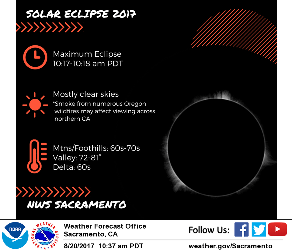
Some mid and high clouds possible today across interior NorCal in the deformation area to the north of the upper low off the central California coast, and some smoke/haze could linger due to numerous wildfires still burning across Oregon and NW California. However, overall conditions should be pretty good for eclipse viewing this morning.
Upper low lingers off the central California coast through mid- week. This will continue a chance of afternoon and evening thunderstorms over mainly the mountains through Wednesday. Thunderstorms may be more extensive on Tuesday as a wave lifts up from the southeast, and a fire weather watch has been posted across the far northern portion of the forecast area due to the potential for abundant lightning.
Moisture and instability forecast to be scoured eastward by Thursday as a trough in the northern stream moves through the PacNW. Temperatures expected to be below average early this week then warm back to above average after mid-week.
Extended discussion (Friday through Monday)
Quiet weather ahead for the long term forecast period. A stable upper level high pressure positioned over the west will keep clear skies and dry weather in place with above normal temperatures across northern California.