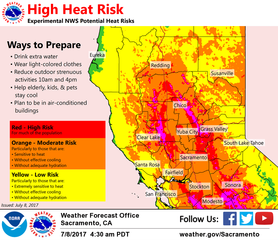
July 8, 2017 – Hot and dry through the weekend with warm overnight temperatures, especially across lower foothills. Isolated thunderstorms possible near the crest and mainly south of Lake Tahoe this afternoon. Heat advisory in effect from 11 am to 11 pm.
Short term discussion (Today through Tuesday)
Upper level ridging will bring a short heat wave with mainly dry weather and triple digit highs through the weekend.
Temperatures generally are 3 to 6 degrees warmer this morning than 24 hrs ago. Hot weather is continuing today with some areas approaching record values. The only records that look in jeopardy are Stockton (106F) and Modesto (107F), both set in 2008. Temperatures tonight will be slow to cool down, although a bit of a Delta breeze will develop to cool the Delta region and into the lower portions of the Valley.
While some cooling is expected Sunday, we included Sunday within a Heat Advisory for the Valley and foothills that begins today. An upper level trough moves over the West Coast Monday and Tuesday that will be the catalyst for cooler temperatures.
Some thunderstorm activity may develop late afternoons over the next few days near and east of the Sierra crest over Alpine and far eastern Tuolumne counties.
Extended discussion (Wednesday through Saturday)
The beginning of the EFP begins with a seasonal weather pattern with the current upper low off the BC Coast getting reinforced by a slightly deeper low from the Aleutians. This results in suppressing heights over NorCal from the strong ridge over the mid section of the USA, and normal/seasonal wx for NorCal which is portrayed in the lack of anomalies on the WR Toolkit. Will continue the slight chance of thunderstorms over the Sierra Crest south of Hwy 50 in deference to the GFS forecast instability and convective precip in that area Wed/Thu.
For the latter half of the EFP and into next weekend, strong high pressure will build Wwd (retrograde) into NorCal and another heat wave is in store. Thu will begin the upward trend in temps, with the upward trend continuing into next weekend. Sat/Sun look very hot with 850 temps in the upper 20s to low 30s degrees C over the CWA correlating with maxes in the 106-112 degree range in the Valley, and very warm overnight minimums. Monsoon moisture may spread Nwd into NorCal later in the weekend.