July 16, 2017 – Hot and dry today with triple digit temperatures in the Valley. Cooling to near seasonal normals by Tuesday with breezy winds.
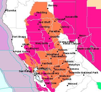
Red Flag Warning until 5 PM this afternoon for Central Sacramento Valley in Glenn, Colusa, Yuba, Northern Sutter, and Butte County Below 1000 Ft-Eastern Mendocino NF-Lake County Portion of Lake-Napa-Sonoma Unit-Northern Sacramento Valley to Southern Tehama County Line Below 1000 Ft-Southeast Edge Shasta- Trinity NF and Western Portions of Tehama-Glenn Unit.
Discussion
Warm overnight temperatures with many locations still in the 70s at this hour given northerly flow. Today will be another hot day as high pressure centered over the desert southwest remains in control.
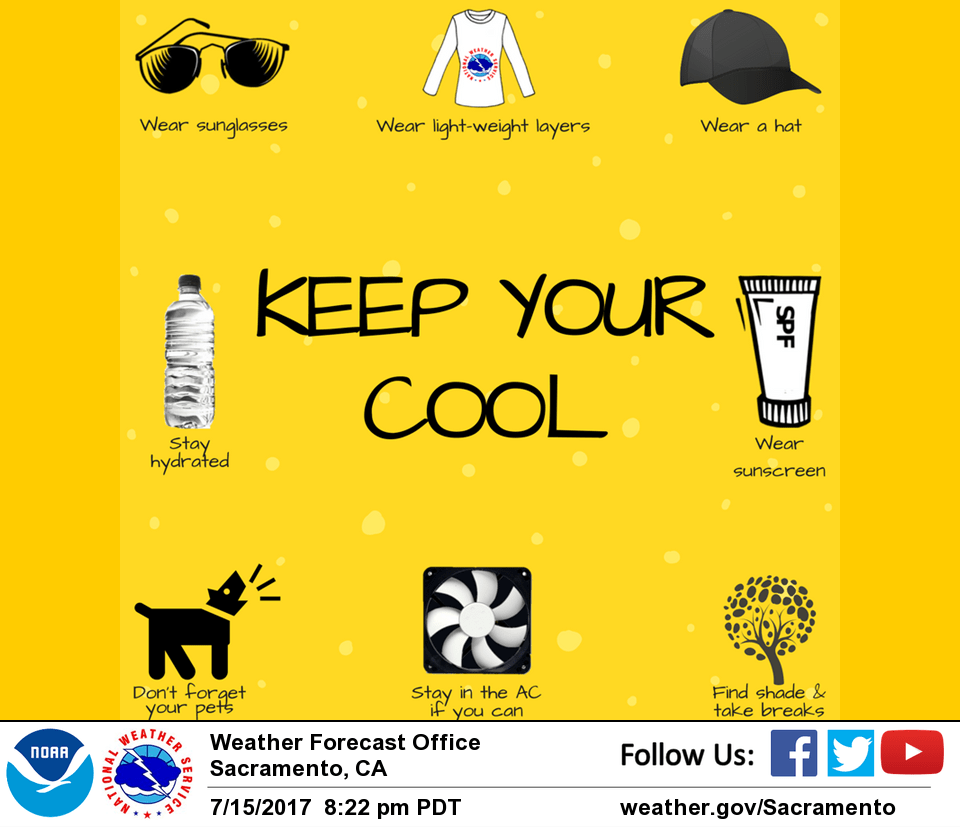
Afternoon highs will be in the 103-106 degree range in the Valley with 70s-80s across the mountains. Heat advisory remains in effect through this evening. Monsoonal moisture bringing yesterday’s clouds will shift to the southeast today so expecting mostly clear skies across most of the area. Much like the past several days, expecting thunderstorm activity to remain to the south and east of interior NorCal. Locally breezy north winds possible across the Coastal Range and western side of the Sacramento Valley.
Ridge begins to shift east on Monday as weak troughing stalls offshore. This will lend to a slight cooling trend with temperatures about 5-7 degrees cooler Monday with an additional few degrees of cooling on Tuesday. Similar temperatures expected from Tuesday to Wednesday. As onshore flow increases, expecting a return of the Delta Breeze with even further cooling in influenced areas. Breezy winds likely across much of the area during the day Tuesday. Even though humidity will be increasing slightly, conditions remain very dry and with breezy winds could still see rapid spread to any fires should they start.
Extended discussion (Thursday through Sunday)
Temperatures will warm-up again across interior NorCal later next week as the trough over the eastern Pacific weakens and high pressure strengthens once again suppressing the marine layer and onshore flow. Most of the Central Valley will see highs of 100-105 next weekend. Monsoon moisture is expected to remain to the south and east of the region.