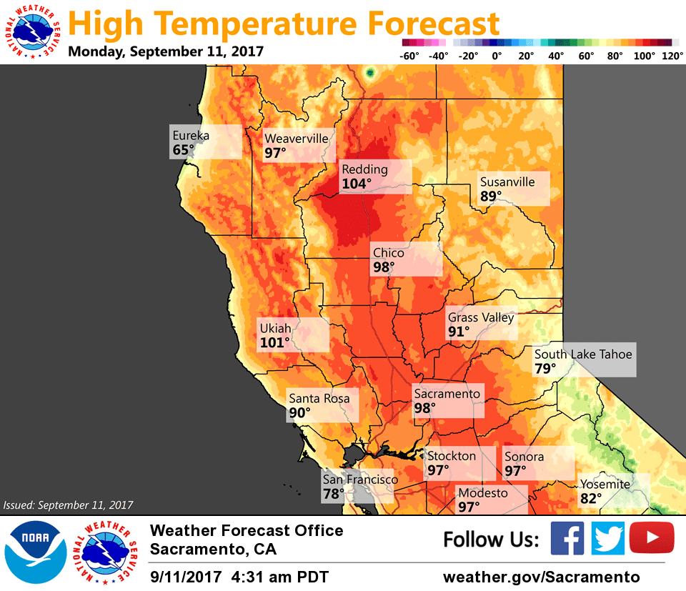
September 11, 2017 – Well above normal temperatures forecast again today with a threat of afternoon mountain showers and thunderstorms. More widespread showers and thunderstorms possible tonight into Wednesday with cooling through Thursday.
Discussion
Partly to mostly cloudy skies have spread northward and now cover the southern half of the forecast area. With all the cloud cover, current temperatures are on the mild side and are running around 4-8 degrees warmer compared to 24 hours ago. Readings range from the mid 40s in the mountain valleys to the 70s and lower 80s across the Central Valley.
The upper low west of SoCal is forecast to drift slowly northward over the next 24 hours bringing an upswing in shower and thunderstorm activity to the region as moisture, elevated instability and lift all increase.
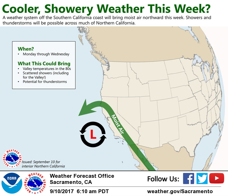
Another hot day is expected today, then gradually cooler weather will return into mid-week with synoptic cooling and increased cloud cover.
Upper low progged to move east through central California on Wednesday/Wednesday night as it’s picked up by a deepening trough over the PacNW. This will keep a threat of showers and thunderstorms, mainly over the mountains and southern portions of our forecast area. Temperatures will continue to cool.
Extended discussion (Friday through Monday)
Dry weather is expected through much of the extended period under a large-scale upper trough. Temperatures are projected to be within a few degrees of normal Friday through next weekend, with 80s across the Valley, and 60s to 80s over the mountains. Breezy north winds may develop on Friday.
Longer-range models are hinting at a stronger shortwave moving through the Pacific Northwest early next week. Depending on track, this system could bring showers to the northern portions of our forecast area.