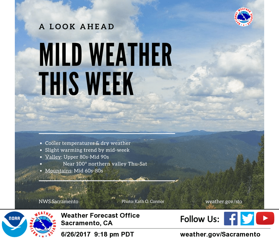
June 27, 2017 – Near average temps through mid-week followed by a warming trend.
Discussion
Clear skies across interior NorCal early this morning except for a little bit of stratus moving inland south of Travis AFB. Temperatures are running around 3-8 degrees cooler across much of the region compared to 24 hours ago (except for the Delta and Sacramento/Stockton areas which are about the same) and generally range from the upper 30s and 40s in the mountain valleys to the 50s and 60s elsewhere.
Only minor warming is expected across the region today as weak cyclonic flow aloft and onshore flow at the surface continues. Warmest portions of the Central Valley expected to only reach the mid 90s. Isolated late-day thunderstorms will be possible across the far northern portion of the state.
Warming returns Wed-Fri as ridging over the eastern Pacific moves onto the West Coast. This will suppress the marine layer weakening onshore flow and result in modest synoptic warming. Triple digit heat will likely return to the northern Sacramento Valley Thu-Fri.
Extended discussion (Saturday through Tuesday)
Dry weather is expected to continue through the extended period. A weak upper trough is projected to move through Northern California on Saturday, bringing a brief cooldown. Otherwise, temperatures through the extended period should remain on the order of 5-10 degrees warmer than normal.