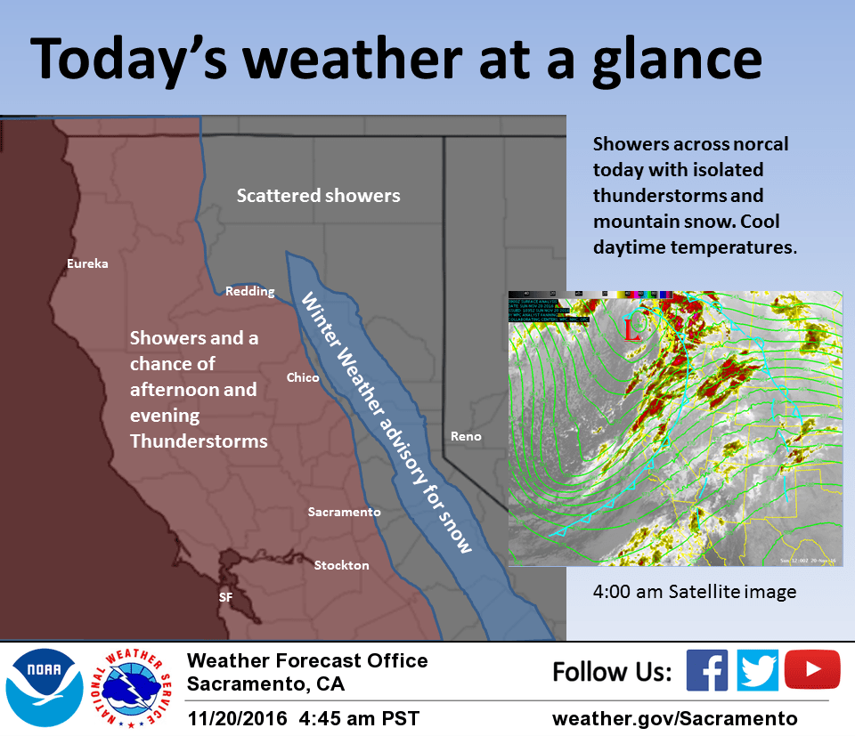
November 20, 2016 – Rain and mountain snow continues today with showers ending by Monday night. A brief break Tuesday then another round of precipitation possible just prior to and including the Thanksgiving Day holiday.
Discussion
Moisture continues to stream over the area from the southwest. The trough axis will move through tonight. Ahead of the passage some enhancement of rain and snow showers is expected during the day. After passage showers will gradually taper off tonight and Monday. Snow levels are up around 6000 ft this morning. Kingvale reported 8 inches of new snow so far. We may need to extend the advisory into the evening hours before showers taper enough to drop the advisory.
Tuesday a ridge will be over the area for a day of dry weather. Late Tuesday into Wednesday is when the next system will move into the region. This system looks colder and should bring lower snow levels than this current one. Precipitation amounts look less than this current one but with the colder air there still could be some travel problems going over the mountain passes.
Extended discussion (Thursday through Sunday)
Unsettled weather pattern forecast to continue for the region during the extended period, though less model consistency leans toward more uncertainly by next weekend. Still looks like a weather system will affect the area Thanksgiving into Friday bringing potential for more significant winter weather impacts over the mountains as snow levels lower. Additional weaker weather systems possible over the weekend as ridging attempts to develop over the eastern Pacific.