Late day mountain thunderstorm chances expected through the weekend. Above normal temperatures will continue today with a gradual day-to-day cooling trend this weekend and into early next week.
Discussion
Similar to this time yesterday morning, GOES-West infrared imagery shows some high clouds passing overhead the region. Through the breaks in the high clouds, GOES-West channel 7 (shortwave window IR) clearly depicts several hotspots on the Dixie Fire in both Butte and Plumas Counties. Temperatures as of 1 AM PDT are still quite warm throughout the Sacramento and northern San Joaquin Valley. Compared to 24 hours ago, most airports were running about 2 to 7 deg F warmer in the 70s to middle 80s deg F. This trend will translate similarly by sunrise with low temperatures in the 60s around the Delta, and 70s elsewhere in the Valley.
500 mb map continues to show a broad upper level ridge with a maxima around 597 decameters centered over the Great Plains today. Anticyclonic flow around this high is drawing monsoonal moisture into the Golden State from the south/southeast.
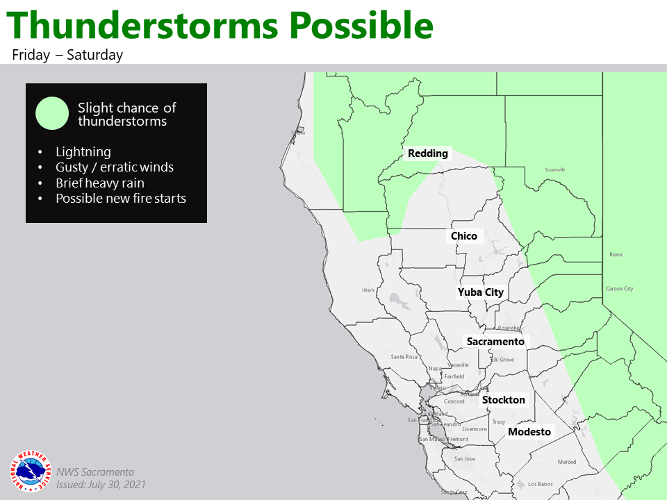
A renewed threat of showers and thunderstorms will develop again this afternoon across the higher elevations, including the Sierra Nevada, southern Cascades, and even the Coastal Range. Any showers/thunderstorms may be accompanied by gusty/erratic winds, brief downpours, and lightning. Temperatures will remain hot again today with Valley highs ranging from the middle 90s around the Delta up to near 106 to 108 deg F in the northern Sacramento Valley.

For the weekend, upper level low in the north Pacific off the British Columbia coast and a weak trough off the California coast will allow geopotential heights to drop off across much of the region, resulting in day-to-day cooling back to near-normal levels by Sunday. While we can’t rule out some isolated shower and thunderstorm chances in the Sierra and southern Cascades through the weekend, the best chances will generally be along and to the east of the crest.
Extended Discussion (Tuesday through Friday)
Cluster analyses continue to favor ridging over the Southwest and Intermountain West early/middle next week. This along with troughing off the British Columbia and Pacific Northwest coast will result in southwesterly (onshore) flow for California with near-normal temperatures.