Cold nights with Valley fog and frost continue into Monday. Rain and snow chances return early this week, becoming widespread by early Tuesday. A series of storms will continue this threat through the week into the holiday weekend with little break in precipitation expected. Mountain travel will likely be significantly impacted at times by moderate to heavy snow. Periods of gusty winds are also possible across the area.

Discussion
The latest IR satellite imagery indicates an area of low clouds over the Delta and the Valley from around Redding southward. Most of this is in the form of low stratus cloud. Some patchy fog has been observed in a few spots but visibility has been generally quite a bit better than last night. This is likely due to lingering stratus inhibiting new fog formation. The low clouds could again persist through much of the day today in the Valley and Delta. The foothills and mountains will have a better potential for seeing some sun today. More morning fog is expected again Monday in the Valley. Temperatures at 3 am PST were not as cold due to the greater cloud cover, about 3-9 degrees warmer than yesterday. An exception to this is Modesto, which was 33 degrees. Some frost is possible in some parts of the Valley, Delta, and foothills. In the mountains, morning lows will range from the 30s to the teens at highest elevations with snow cover.
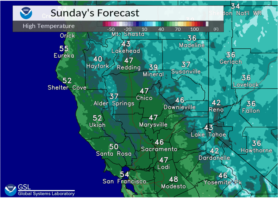
High temperatures today will remain quite cool, about 4 to 8 degrees below normal. Daytime highs will be in the mid 40s to low 50s across the Valley and foothills and 30s to 40s in the mountains.
The upper level pattern begins to change early this week as ensemble guidance remains in agreement with a cold trough from the Gulf of Alaska deepening over the Eastern Pacific.
The trough axis is forecast to linger just off of the West Coast through most of next week with several shortwaves moving into Northern California with moist southwest flow persisting. This will bring multiple rounds of precipitation through the area, likely causing significant disruption to holiday travel.
The system has continued to slow, with just a slight chance of some precipitation over western Shasta County today into early Monday. Monday night through Tuesday the first wave moves in, bringing widespread rain and mountain snow. Snow levels should be around 3000-4000 feet.

Ensembles suggest snow amounts through Tuesday night could be up to around 6-12 inches for elevations of 6000 feet and higher. Heavier precipitation spreads in Wednesday with a better sub-tropical moisture tap, but snow levels will also rise to around 4500-6500 feet. This means travel impacts will be more focused over higher terrain, with up to a couple of feet of additional snow possible around the Sierra passes.
Extended Discussion (Thursday through Sunday)
Cluster analysis and ensembles continue to depict persistent deep troughing that sets up just off the West Coast during the extended period. This pattern will favor a multi-day period of precipitation as several impulses move through interior NorCal. Overall, precipitation amounts could range from 1″ to 1.75″ in the Valley with 2″ to 5.5″ possible in the foothills Thursday through Sunday morning.

Snow levels will generally be in the 3500 to 5000 feet range Thursday, then drop to around 2000 to 3500 ft Friday into the weekend.
Ensemble probabilities are high for multiple feet of mountain snow with snow totals in the 2 to 6+ foot range in the Sierra Nevada and southern Cascades Thursday through Sunday morning. Some snow accumulations could even extend into upper foothills.
Gusty winds are also possible, which could cause reduced visibilities in mountain snow. There could even be potentially downed tree branches in the Valley and foothills.
Holiday travel disruptions are likely with the potential for chain controls, significant travel delays and possible road closures. Stay tuned for forecast updates.