Cooler weather today into the weekend. Chances for scattered thunderstorms late Thursday into Friday throughout the interior. Dry weather returns by Friday evening. Red Flag Warning in effect from 11 PM this evening to 11 PM Friday.

Discussion
Cooler today as the low pressure area off the coast progresses towards the interior and starts to break down the ridge over the area. Clouds are also starting to move over parts of the region with most of the clouds currently over the Sierra Nevada. Models are indicating clouds to increase during the day especially in the afternoon and evening hours that will also help to limit the heating today.

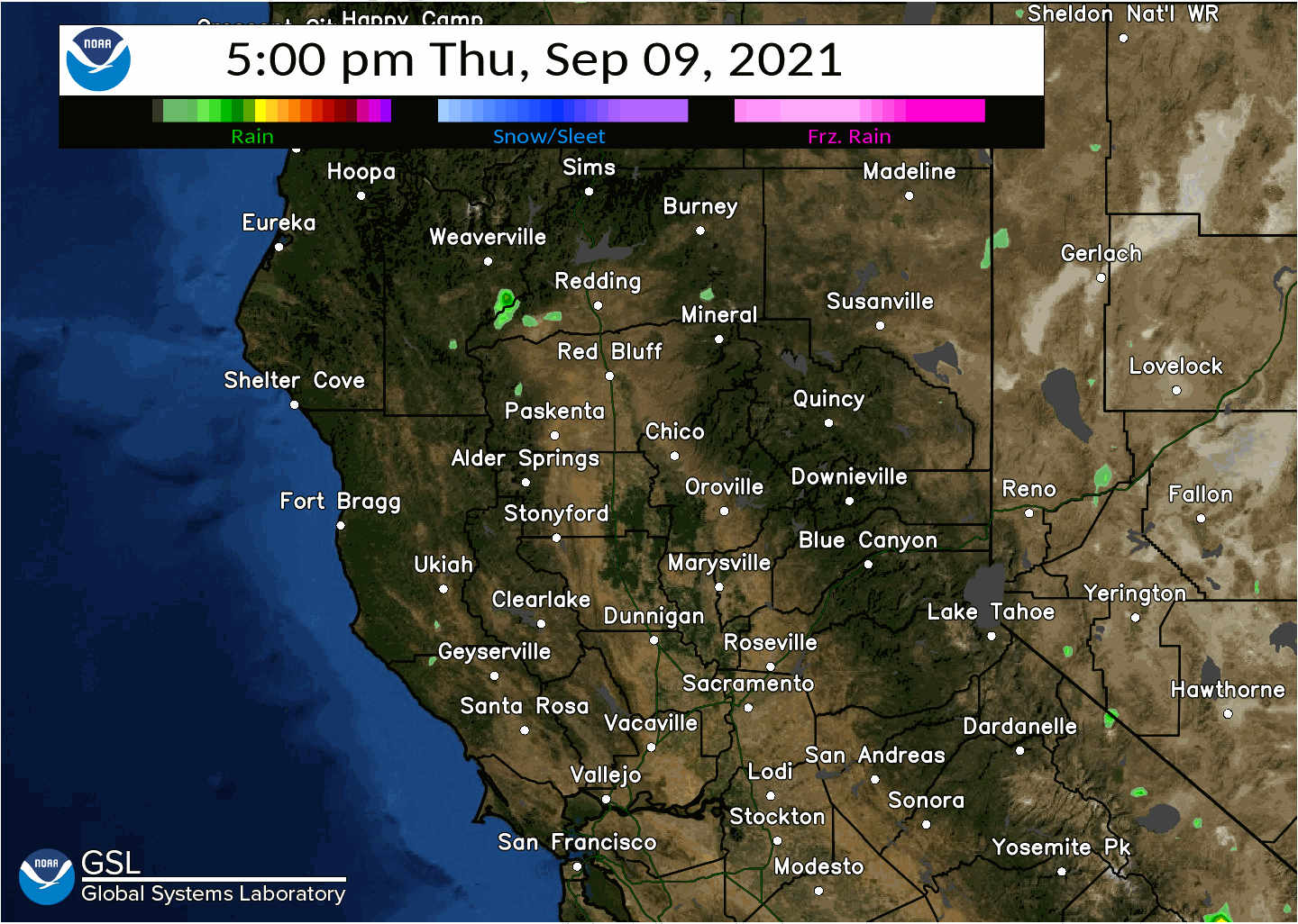
We are still expecting isolated to possible scattered thunderstorms to move over the interior mainly tonight into early Friday morning. Instability does not look as good this morning as it did a day ago so it could end up being more showers than thunderstorms. That said any thunderstorms look like they will be a mix of dry and wet but generally less than a tenth of an inch of rainfall for the lower elevations. Higher up along the western slopes maybe around a quarter inch or so with the stronger ones.
The low will first bring chances to the coastal range late in the day and possibly to the Sierra Nevada south of Tahoe. Chances extend into the valley Thursday evening mainly central Sacramento valley northward and then after midnight over the entire area. Early in the day on Friday the activity should shift over the western slopes and foothills. The low does progress east during the day with Thunderstorm chances ending during the morning for most areas.
Winds will also increase over the ridgetops on Thursday with gusts generally 25 to 35 mph ahead of the wave that moves in later Thursday. This will also increase fire weather concerns ahead of the thunderstorms that are expected and its associated problems. Cooler temperatures Friday behind the trough with activity gradually ending over the eastern portion of the CWA during the morning. Breezy ridgetop winds will continue along with fire weather concerns into the evening hours. That said if we get enough rain over the higher elevations it could dampen the fire weather concerns.
A flat ridge Saturday and Sunday over the region will warm temperatures 3 to 5 degrees over Fridays high temperatures with a slight warming trend this weekend.
Extended Discussion (Monday through Thursday)
Near normal temperatures and dry weather are generally expected for the extended period. Clusters continue to indicate broad troughing will be likely across the area early next week, although a few clusters hint at broad ridging mid to late next week. Either way, looks to be fairly benign weather for the extended. Still could see some locally breezy winds during this period over the ridgetops and through the Delta region.