June 13, 2017 – Dry weather with a warming trend for the remainder of the week.
Discussion
Some cloudiness continues across the far northern portion of the state early this morning, but the rest of the region has cleared out. Current temperatures are generally milder compared to 24 hours ago and range from the mid to upper 20s in the mountain valleys to the 40s and 50s elsewhere.
Short-wave ridge moves into NorCal today bringing a return of dry and milder weather. Once the weekend low moves into the northern high plains, the short-wave ridge will flatten and zonal stable flow aloft will be over the area for mid-week.
Average temperatures will return by Wednesday and there may be some high clouds at times.
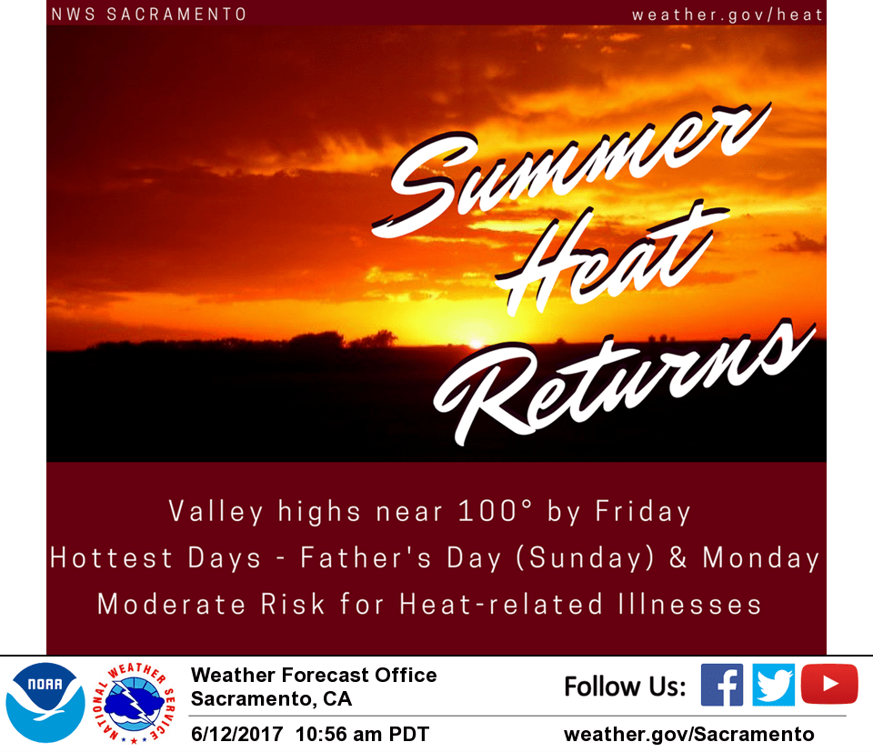
Temperatures will increase Thursday and Friday with continued dry weather as high pressure strengthens.
Extended discussion (Saturday through Tuesday)
Upper ridge strengthens over Interior NorCal through the extended forecast period resulting in high temperatures upwards of 15 degrees or so above normal. Max temps between 100 and 105 expected over the weekend into next week which may warrant issuance of heat advisories.
Models beginning to suggest potential for afternoon showers or thunderstorm over the Sierra Nevada Sunday and Monday. Will leave forecast dry for now, but may be added to future forecasts if trend continues.