September 17, 2017 – Dry with seasonable temperatures through the weekend. Cooler weather with a chance of showers by mid-week.
Discussion
Skies are mostly clear across interior NorCal early this morning except for some high cloud moving across the far northern portion of the state. Current temperatures range from the mid 30s in the mountain valleys to the mid 60s across milder portions of the Central Valley.
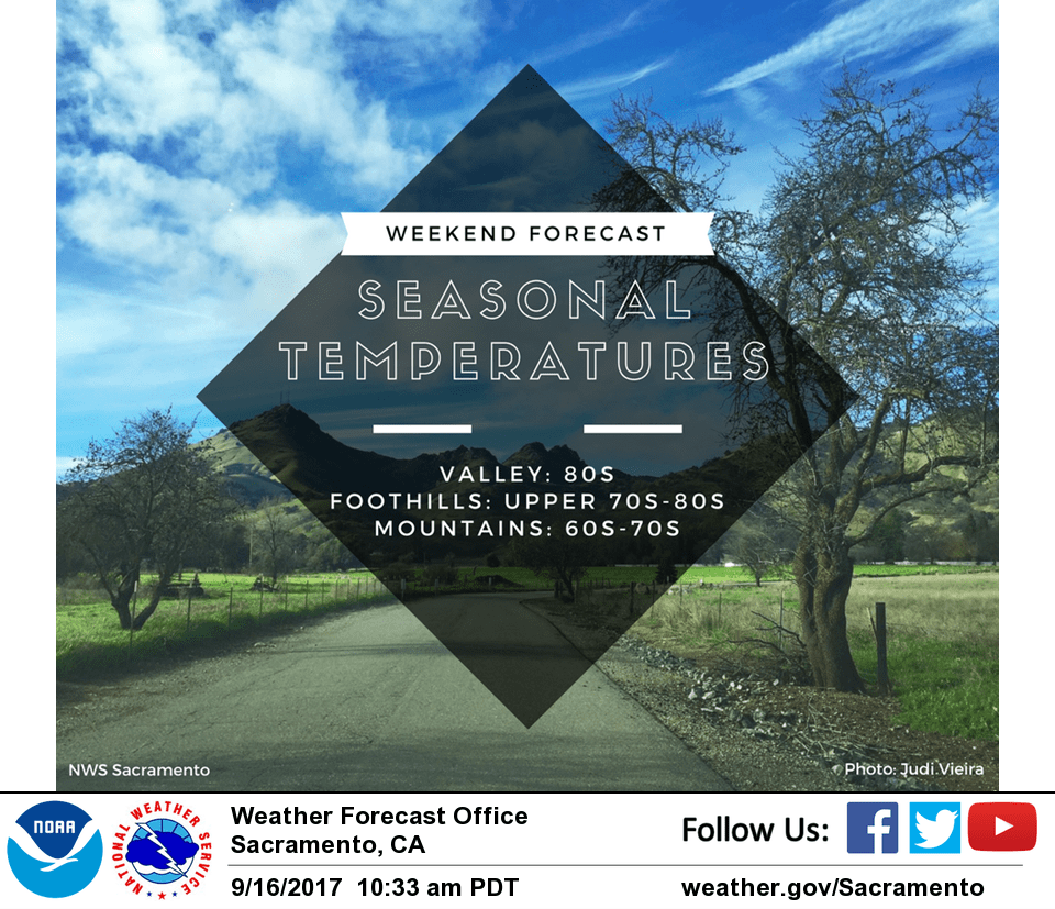
Dry weather with similar temperatures to Saturday’s are expected today.
Cooler weather will return Monday and continue through the week as a deep upper trough moves into the Pacific Northwest. Northern CA will be on the southern fringe, with precipitation chances limited mainly to the mountains. The main impacts for much of the region will be cooler temperatures (5-15 degrees below average) and breezier conditions.
Extended discussion (Thursday through Sunday)
Upper level trough over the west coast will dominate the weather for interior NorCal during the extended forecast. The main impact will be cool weather since models show that much of the precipitation will remain north of our region except for some isolated showers over mountains. Temperatures Thursday will be 10-16 degrees below average then 5-12 degrees below average on Friday. The valley will see daytime temperatures in the mid 70s to low 80s. Daytime temperatures in the foothills and mountains will range from the 50s to the low 70s though some locations over the Sierra crest may fall into the high 40s. Overnight temperatures will be pretty chilly with mountain locations falling below 40 degrees.
The trough moves east of the area by the weekend so that daytime highs will be near normal on Saturday. Valley highs will be solidly back in the mid-80s on Saturday with additional warming to the upper 80s and low 90s on Sunday.