February 10, 2017 – Showers today with snow over the higher elevations causing travel impacts. A chance of thunderstorms in the valley this afternoon. Drier weather returns for the weekend through early next week. Next chance of rain across NorCal late Wednesday and Thursday.
Discussion
Pacific cold front now over the southeast CWA and continuing its progression out of the forecast area. Light precipitation is falling southeast of a line from about Blue Canyon to Stockton. Snow levels have dropped to about 6000 feet so have become impactful to Sierra travel with chain controls now in effect on 80 and 50. Snow levels will continue to drop a bit today as cold air behind the front filters in.
Showers are likely to continue today with NorCal between the back edge of the front and an upper trough over the eastern Pacific. Instability proggs show some instability throughout the central valley this afternoon so keeping thunderstorms in the forecast.
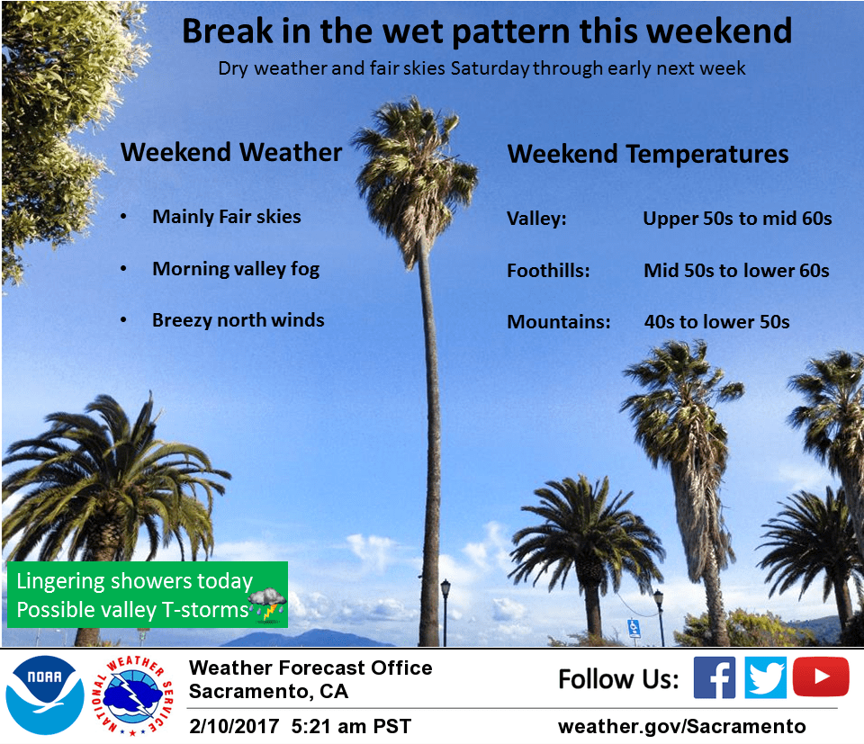
Precipitation amounts are expected to remain on the light side today so new flooding impacts are not expected today although thunderstorms could create local urban flooding. Upper trough swings though NorCal tonight for a continued shower threat. Shower threat finally ends mid day Saturday as upper trough drops into SoCal and upper ridge pushes into the Pacific Northwest and Norcal.
A 7 mb surface gradient from MFR to SAC will bring breezy north winds by Saturday afternoon most areas. Daytime highs Saturday warm to near or a little above normal. Upper ridging brings continued fair skies and northerly breezes on Sunday with daytime highs remaining a little above normal.
Lighter winds expected on Monday as high pressure centers over the west coast. More stable conditions will increase morning valley fog chances early next week.
Extended discussion (Tuesday through Friday)
High pressure lingers over the region through Tuesday with dry conditions. Wet pattern returns Wednesday into next weekend as models show another series of storm systems moving across NorCal. Periods of moderate rain possible during this wet period. Snow levels will start off high then gradually lower by the end of the week.