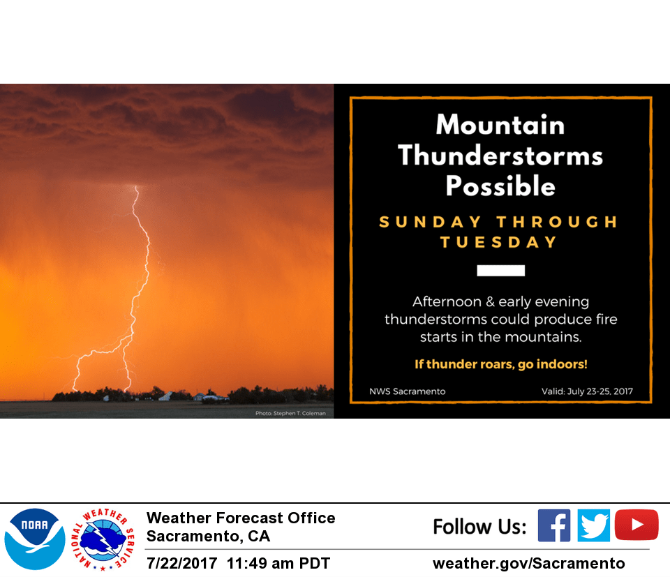
July 24, 2017 – A slight chance of afternoon and evening thunderstorms across NorCal mountains through Wednesday. Near normal temperatures through Tuesday, warming back up mid to late this week.
Discussion
The primary weather feature impacting northern California this morning is a very slow-moving upper shortwave currently situated just off the northern CA coast. Southerly flow aloft out ahead of this system has advected subtropical moisture northward, and even at this hour showers and thunderstorms are being detected just east of the Sierra crest. The marine layer has also steadily increased in depth over the last 24 hours, and is now nearly 2000 ft deep at Fort Ord. Locations near the coast have begun to feel the effects of this greater marine influence, though these cooling effects haven’t penetrated farther inland yet.
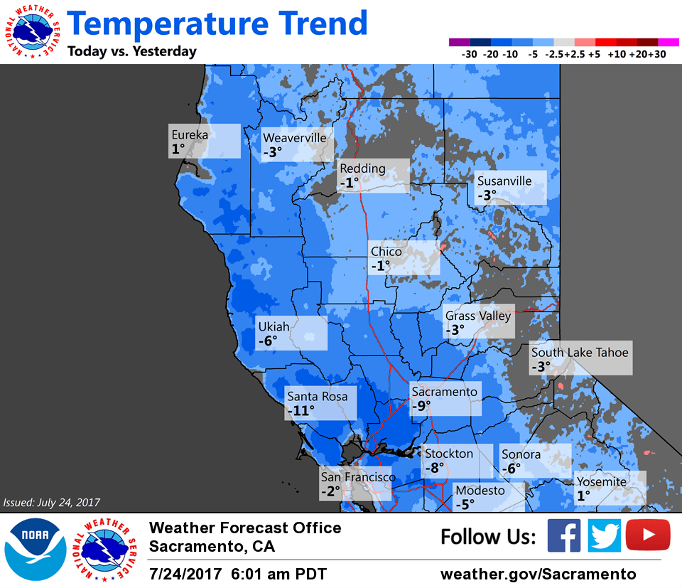
High temperatures will trend closer to normal today and Tuesday as the aforementioned system slowly moves inland. Convective activity will be on the rise this afternoon, mainly along and east of the Sierra Cascade crest.
The upper low is forecast to very slowly lift across the region Tuesday and Wednesday. As such, thunderstorms chances will remain in similar areas both of those days as they are today. The system should fill and shift eastward by Thursday, which will bring warmer and drier weather.
Extended discussion (Friday through Monday)
Upper ridge rebuilds across interior NorCal late this week into the weekend. This will result in daytime highs about 5-10 degrees above normal. There are model differences in terms of the position and strength of this ridge. At this point, the ECMWF is the farthest westward and strongest solution.
Thus, how much warming will occur over the weekend remains in question given model uncertainty. Dry weather is expected across interior NorCal during the extended period. However, the GFS is indicating an embedded disturbance in the upper flow that could trigger some afternoon shower activity near the Sierra crest on Sunday. Have kept the area dry for now given model uncertainty.