December 3, 2016 – A small upper level disturbance will bring chances for small amounts of rain and snow to the upper Valley and northern mountains Sunday and Monday. Colder air in the Valley could result in near to below freezing overnight temperatures this coming week.
Discussion (Today through Tuesday)
Main forecast concerns for the period starting this weekend through Tuesday night are rain and snow chances to the northern mountains and northern Valley, and low overnight temperatures Monday and Tuesday near or slightly below freezing for the Valley.
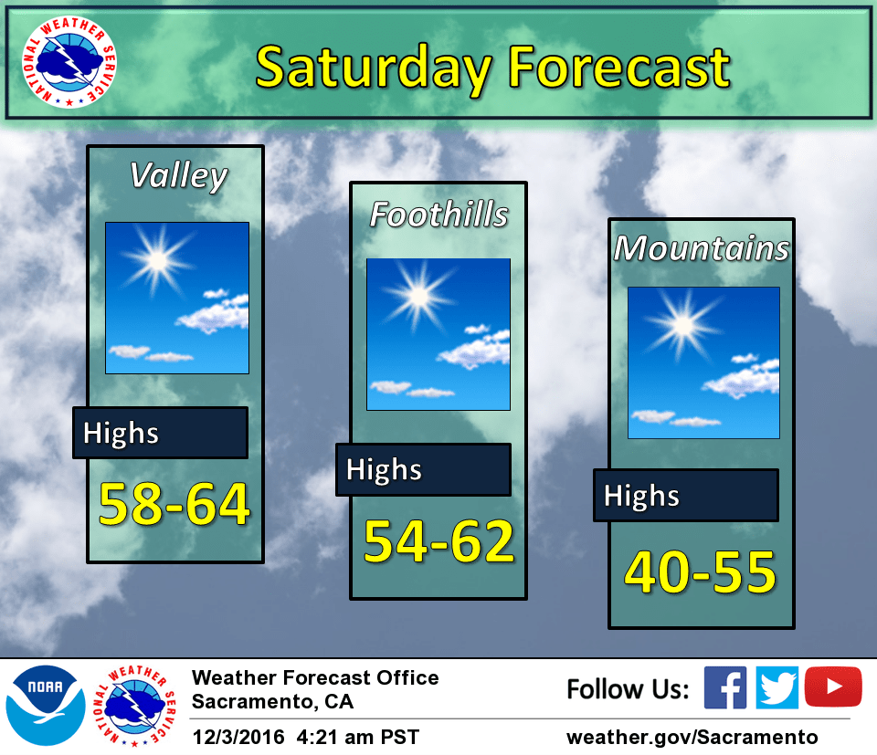
Dry weather influenced by an upper level high pressure system in the eastern Pacific will prevail across the forecast area today. Patchy fog and frost are possible in the lower San Joaquin valley this morning, but will taper off quickly in the late morning as temperatures begin to rise. High temperatures will rise to the upper 50s and lower 60s for the valley and foothills, and 40s/50s for the higher elevations, which is a few degrees above average for this time of year.
A small weather disturbance will move across the Pacific Northwest and will clip northern California Sunday through Tuesday. This weather system will provide chances for rain and snow across mainly across the northern mountains and the Sierra, but only minor accumulations are expected at elevations higher than 1500 feet with 1-2 inches at most for higher peaks.
Colder air moving southward associated with the upper disturbance will bring high and low temperatures between 5 and 10 degrees below normal. Low overnight and early morning temperatures will be near to slightly below freezing in the Valley, which could affect sensitive vegetation and any crops that are still growing. Confidence is increasing for sub freezing Valley temperatures with good model agreement.
Extended discussion (Wednesday through Saturday)
Long range forecast starts out dry with upper level ridge axis near the coast. Fair skies and cool airmass will allow for some of the coolest morning lows of the season in the valley. Morning lows could drop to below freezing especially in outlying areas.
Overnight lows on Thursday climb a few degrees as clouds spill over the north state. This cloudiness is in advance of a Pacific frontal band forecast to weaken the west coast ridge and punch into Norcal early Thursday morning.
Timing varies from the extended models but it appears heavier precipitation will occur sometime on Friday. Moderate precipitation is expected with this system as it breaks down the upper ridge. Snow levels with this system will be moderately high so travel impacts over the Sierra will be possible.
Weak upper ridge returns by next Saturday for drying most areas. ECMWF keeps this ridging fairly flat so have kept slight precipitation chances over the northern mountains.