January 14, 2017 – Fairly dry conditions through Monday. Heavy precipitation is possible by midweek with renewed flooding concerns as the wet pattern could extend into the weekend.
Discussion
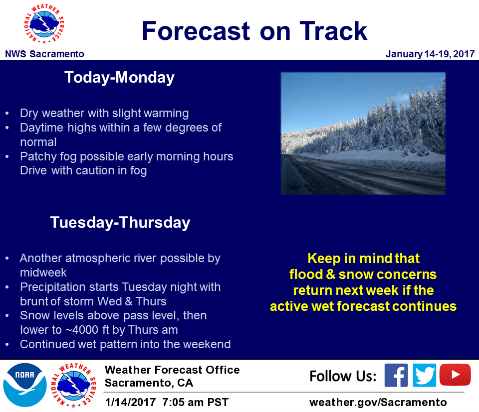
High pressure building into Northern California will dominate our weather this weekend through late Monday/early Tuesday. Expect fairly clear skies and dry weather with daytime highs within a few degrees of normal. Patchy fog is possible during early morning hours in mountain valleys and also in the Central Valley, generally from Marysville southward.
Short term models show that some moisture could ride over the ridge and brush NorCal on Sunday. However, it looks like this will mainly be along the NorCal coastline with only a slight chance of reaching the coastal range.
Ridging looks to be the strongest on Monday, but is expected to track southward slightly on Tuesday. This southward movement will open the “storm door” for another possible atmospheric river event starting late Tuesday/early Wednesday.
Extended discussion (Wednesday through Saturday)
Models still showing that another atmospheric river could be aimed for the West Coast next week. Models indicate that the moisture plume should start impacting NorCal sometime early Wednesday. Heavier and more widespread precipitation is forecast to begin by Wednesday afternoon and continue into early Thursday before turning more showery.
Looks like showery weather will continue into early Friday, but then another wave of widespread precipitation arrives during the day on Friday. Both systems are forecast to have moderately low snow levels and look to move through the region fairly quickly, so flooding not expected to be as significant or widespread as earlier this week.