March 12, 2017 – Dry and mild weather through early next week. The next chance for precipitation returns to the north state by mid to late week.
Discussion
Temperatures this morning are running slightly cooler over the north and warmer in the southern part of the valley. There is a small patch of fog along the east side of the San Joaquin valley this morning that extends into the southern portion of Sacramento County.
Other than a few high cirrus clouds today skies will be clear and will will be northerly between 5 to 10 mph in the valley. Temperatures will warm into the mid to upper 70s for the valley with a few of the warmer spots topping out in the lower 80s. The mountains will warm into the 60s.
Previous Discussion
High pressure ridging will continue to bring well above normal temperature through early this week, though record breaking highs are not expected. In the Valley highs in the mid to upper 70s are expected, with a few spots reaching the lower 80s. The mountains will warm into the 60s to lower 70s. At night, temperatures will drop to the upper 40s to lower 50s for the Valley and foothills, while mountain valleys will be the cool spots, dropping to the upper 20s to lower 30s.
There could still be a few patches of fog/mist in Valley near rivers this morning, but high clouds seem to be limiting this development so far. Mostly clear conditions are expected through Monday night. Tuesday will see some increasing clouds, especially over the northern mountains, as a weak system passes to the north.
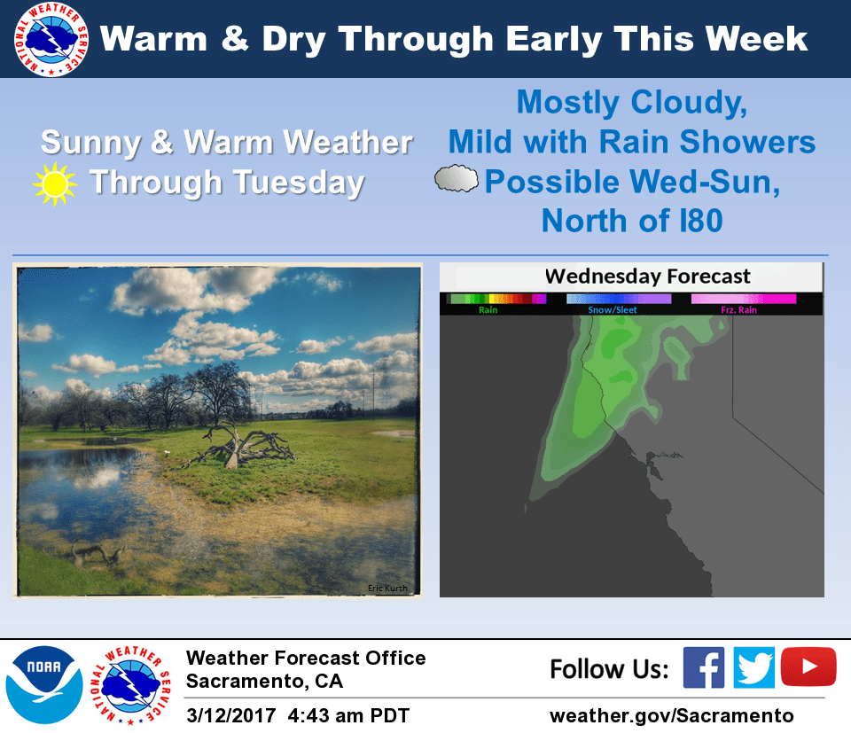
The ridge breaks down on Wednesday with a weak upper trough and surface cold moving through the region Wednesday and Wednesday night. Precipitation is expected to be fairly light and remain north of I80. Elsewhere, the main effects will be more cloud cover and slightly cooler temperatures.
Extended discussion (Thursday through Sunday)
Southwesterly flow aloft expected across NorCal later next week as the upper ridge shifts east. Plenty of moisture is forecast by the models to move over the area, but forcing for precipitation is expected to be rather limited, so only light QPF expected at times across the far northern portion of the state with varying amounts of cloud cover elsewhere. Temperatures are forecast to remain above average.