August 19, 2017 – Temperatures near to slightly above normal through the upcoming week with a daily threat of afternoon to evening mountain thunderstorms.
Discussion (Today through Tuesday)
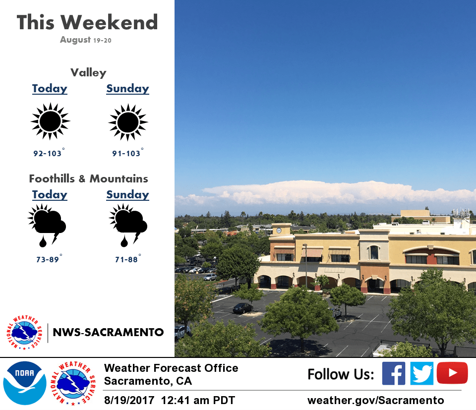
Upper troughing digs over Interior NorCal today resulting in minor height/thickness falls over the forecast area. This will translate to a few degrees of cooling for most locations. Flow through the Delta has been strong overnight, but will weaken some during the day. However, marine layer is deepening in response to the trough and combined with onshore flow will provide minor cooling to areas in vicinity of the Delta. High temps this afternoon expected to be around 3 to 6 degrees above normal. Instability and moisture convergence over the higher elevations of the Sierra Nevada and mountains of Western Plumas could result in afternoon thunderstorms again.
Digging upper trough helps to deepen upper low off the SoCal coast Sunday into Monday. Low progged to remain quasi-stationary through Tuesday and will draw moisture into the area leading to a continued threat of afternoon to evening showers and thunderstorms, mainly over the mountains. Low will also provide minor synoptic cooling with highs trending down to near normal by Tuesday.
Extended discussion (Wednesday through Saturday)
An upper level low over southern California will continue to bring the chance for Mountain showers and t-storms for the start of the extended forecast. A few lingering showers will be possible Tuesday night over the Mountains mainly over Plumas and Shasta Counties. The moisture on Wednesday will be concentrated more in the northern part of the CWA and that will keep the better chance for Mountain storms north. A trough dropping south into the PacNW will finally kick the upper level low east helping to bring a dry end to the extended period. Temperatures will be right at average to start out the forecast period and the trough pushing into the PacNW will help to keep things seasonal. A ridge starts to build in next weekend and that will push temperatures back above average.