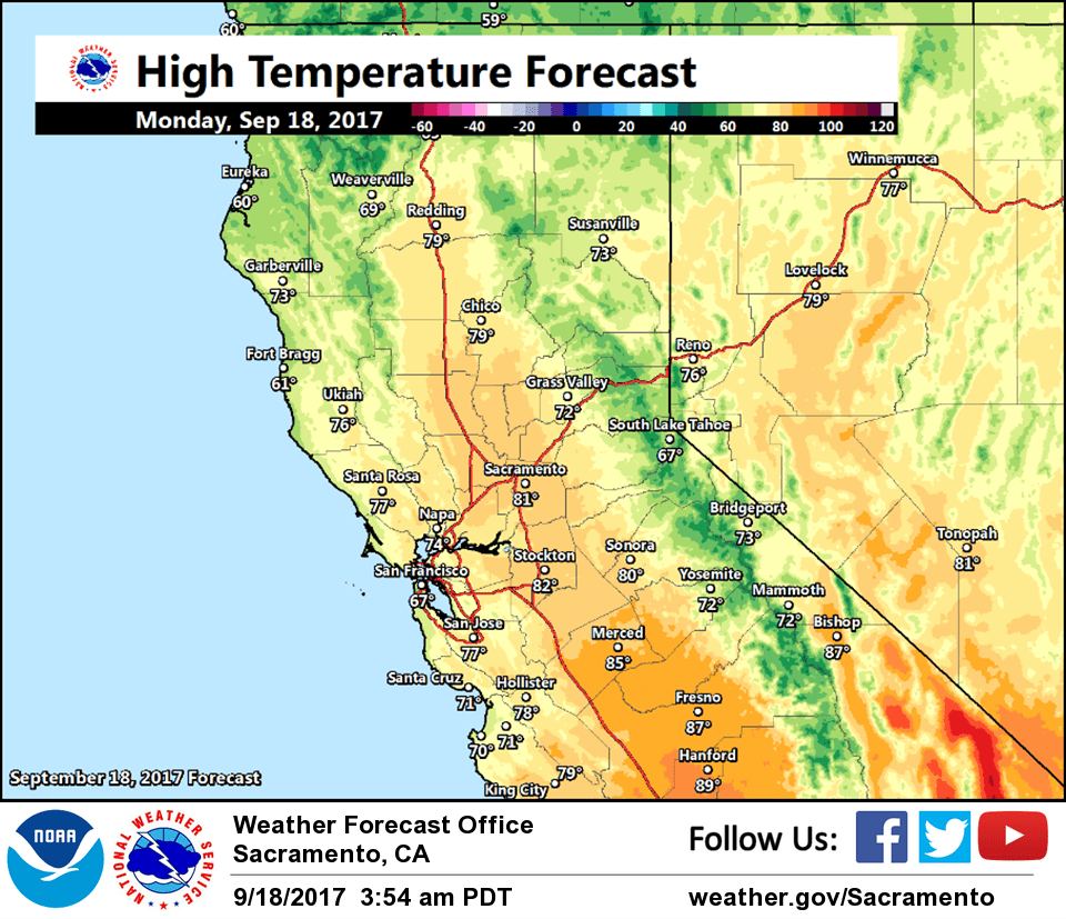
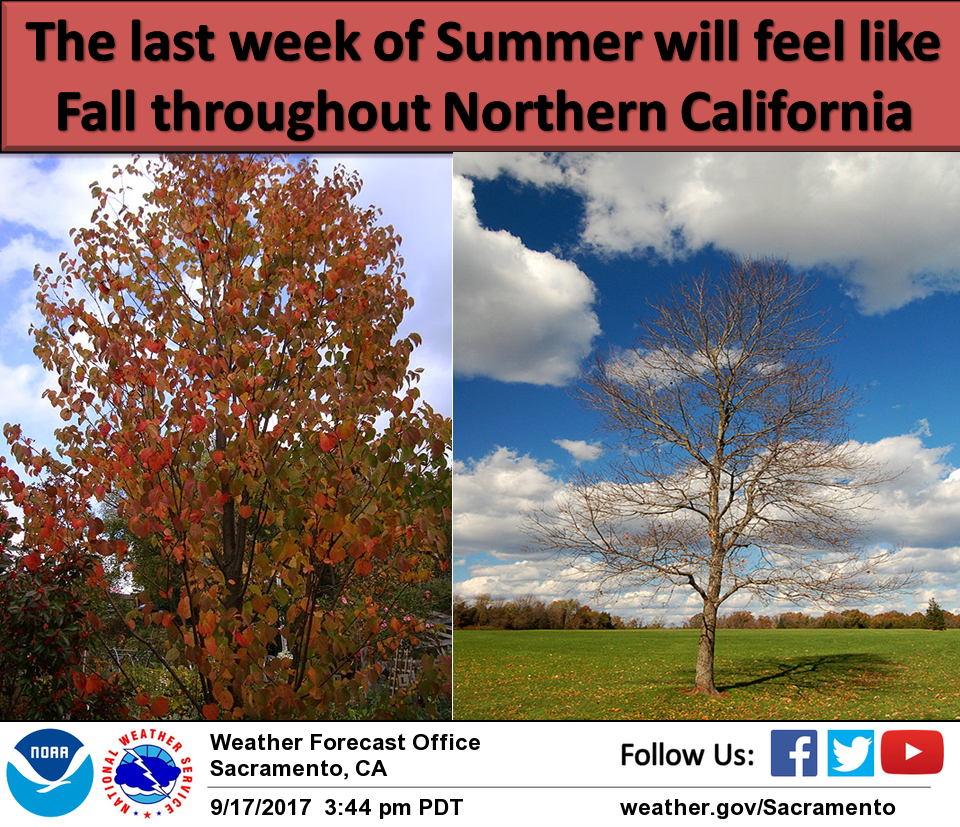
September 18, 2017 – Cooler weather this week with a chance of showers by mid-week.
Discussion
Some mid and high clouds beginning to move into far northern California early this morning ahead of the approaching front. Elsewhere, skies are clear. Current temperatures range from the lower 30s in the colder mountain valleys to the 60s to around 70 in the Central Valley.
Initial cold front moves south through the area today and is expected to be mostly dry, though enough moistening of the airmass may take place for some sprinkles or light showers across the higher elevations of the northern Sierra Nevada into this evening.
A better chance of showers will be possible further south into NorCal Tuesday night into Thursday as the trough deepens along the West Coast and colder air drives further south. The best chance of precipitation will remain over the mountains with even some early season snow showers/flurries possible for the higher peaks.
The most noticeable change in the weather this week will be the trend toward cooler temperatures and breezier conditions. Temperatures will start out the week around 5-10 degrees below average, but will be about 10-20 degrees below average after mid- week!
Extended discussion (Friday through Monday)
Cool and unsettled pattern will continue fall-like weather on Friday as a high amplitude trough pattern moves through the west coast. Scattered rain showers and light snow for the highest Sierra peaks are possible as the disturbance exits northern California. High temperatures will range between 5 and 15 degrees below normal.
Forecast models are fairly consistent with the strength and progression of the system, and the upper trough which will begin to exit for the weekend. Temperatures will warm to near to slightly above normal by Sunday as a high pressure strengthens in the eastern Pacific. Dry weather will ensue for the weekend.