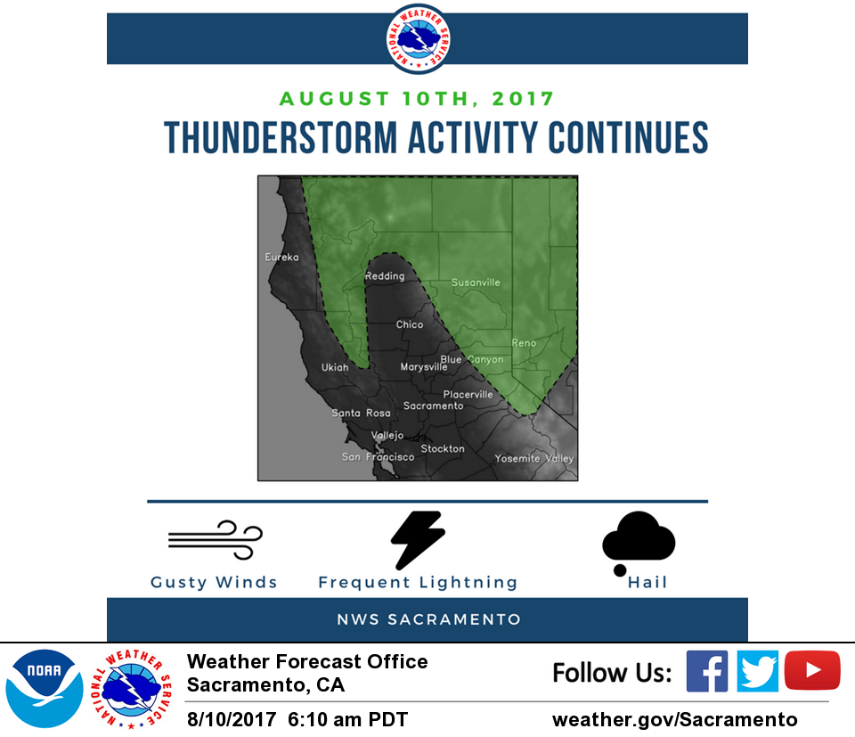
August 10, 2017 – Showers and thunderstorms possible today, mainly over the mountains. Temperatures expected near normal into the weekend, then slightly below normal early next week.
Discussion
Persistent upper level low along the N Coast will continue to affect NorCal weather for one more day. Short wave rotating around the low will be moving over NorCal this morning and could trigger a shower or two over the Sierra generally N of Tahoe later this morning and more likely during the afternoon. The cyclonic rotation around the low and terrain forcing should allow convection to develop over the Nrn Mtns and along the Coastal Range as well this afternoon. The low should lift out to the NE tonite and end the precip chance in our CWA later this evening. Then drier and stable SW flow will prevail over our CWA through the weekend. Some mid to high level moisture will skirt our CWA to our NW on Fri and Sat with a band of cloudiness moving into the area on Sun as a deeper trof moves across B.C. Sun/Mon.
Ft Ord Profiler shows the marine layer deepening to over 2 kft this evening with the local “Stratus Calculator” indicating the chance of some patchy low clouds spreading/developing in the Srn Sac Vly with brief cloud ceilings for an hour or two this morning. Onshore pressure gradients over 4 mbs this evening have maintained a moderately strong Delta Breeze overnight. The cooling breeze will keep max temps several degrees below adiabatic descent from 850 mbs in the Delta influenced areas, i.e. upper 80s to low 90s.
After the upper low lifts Nwd on Fri the Delta Breeze should weaken allowing for slight warming in the CWA into Sat with max temps near to slightly above normal. Slight cooling to near normal on Sun as the deeper upper trof moves across B.C. JHM
Extended discussion (Monday through Thursday)
Forecast models indicate an upper trough progged to move across interior NorCal Monday into Tuesday. Therefore, the air mass will cool across the forecast area with temperatures expected to remain a few degrees below normal early next week. Daytime highs will gradually start to warm on Wednesday as the upper trough drifts to the southeast and ridging from the eastern Pacific extends into NorCal. Temperatures could climb into the upper 90s across the valley and around the century mark over the northern Sacramento valley.