August 9, 2017 – Showers and thunderstorms are possible over the next several days mainly over the mountains. Temperatures will remain near normal.
Discussion
Persistent upper level low just off the N Coast will continue to affect NorCal wx for another couple of days. Short wave rotating around the NE quadrant of the upper low is lifting much of the cloud cover Nwd, but water vapor/IR imagery shows the moisture and cloud tops warming as it reaches a deformation/stretching axis. Although the precip ending in our CWA by evening, a lone storm developed near Meeks Bay overnight and lifted Nwd east of the Sierra crest which may persist until sunrise.
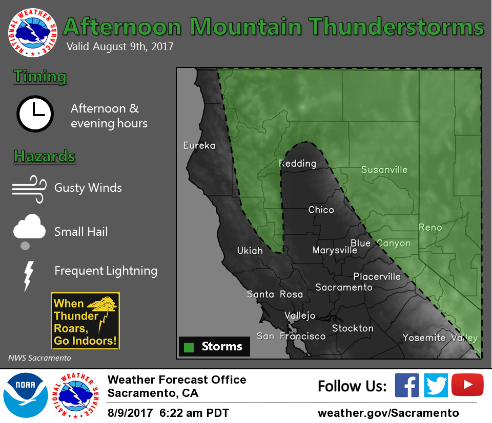
Another round of mountain storms are expected again today over portions of our CWA as the short wave near 38N/127W at press time approaches the coast today and moves and moves inland after 06z. A large swath of instability is forecast over the Sierra with a secondary area over the coastal range. This area lingers tonight as the short wave rotates NEwd over our area, with a chance of nocturnal mountain convection in our CWA due to elevated instability and terrain forcing. Will have to monitor chance of foothill or E side of the valley convection overnight, but at this time, the depth of moisture looks very problematic. Convective chances should mainly trend Nwd in our CWA on Thu as the short wave continues to lift Nwd through Thu evening. Stable SW flow is forecast on Fri and through the weekend which will suppress convection in our CWA.
Seasonable 5H heights noted on the WR tool kit which should translate into near normal temps through the weekend, 90s to low 100s in the Valley and 70s to low 90s mountains. The approaching trof will maintain sufficient onshore flow and pressure gradients and a good Delta Breeze through Thu before it weakens some on Fri and through the weekend. This will have some cooling effect in the Delta influence areas today and Thu with a warming trend on Fri. Persistent troffing along the W Coast this weekend will maintain dry and stable SW flow over the region and seasonable temps. Ft Ord profiler no updating, but the KOAK RAOB suggests the marine layer is near 1600-1700 ft. The shallow marine layer and large temp/dew point spreads suggest stratus will remain in the Carquinez Strait area this morning.
Extended discussion (Sunday through Wednesday)
Forecast models continue to indicate an upper trough digging into the Pacific Northwest early next week. However, model uncertainty remains regarding the evolution of this system. The ECMWF indicates a deeper and farther south solution compared to the GFS. Despite model discrepancies, latest guidance is in fair agreement to cooler temperatures across interior NorCal as the upper trough settles in and onshore flow increases. Main dynamics associated with this system should stay north of the forecast area so have kept the forecast dry.