Seasonably hot weather today and Saturday. Heat peaks early next week with widespread triple digit highs expected across the Central Valley. Slight chance of late day thunderstorms in the northern Sierra during the second half of next week.

Discussion
Skies are clear across interior NorCal early this morning. The persistent trough off the coast continues to weaken, and the marine layer is being compressed as high pressure strengthens. Onshore surface gradients are waning, so no stratus expected inland this morning. Warming will continue today with highs forecast to be up around 3-6 degrees compared to Thursday’s as high pressure strengthens a bit further. We’ll see some breeziness again this afternoon as daytime heating tightens the coast/inland gradient, but it won’t bring much cooling.
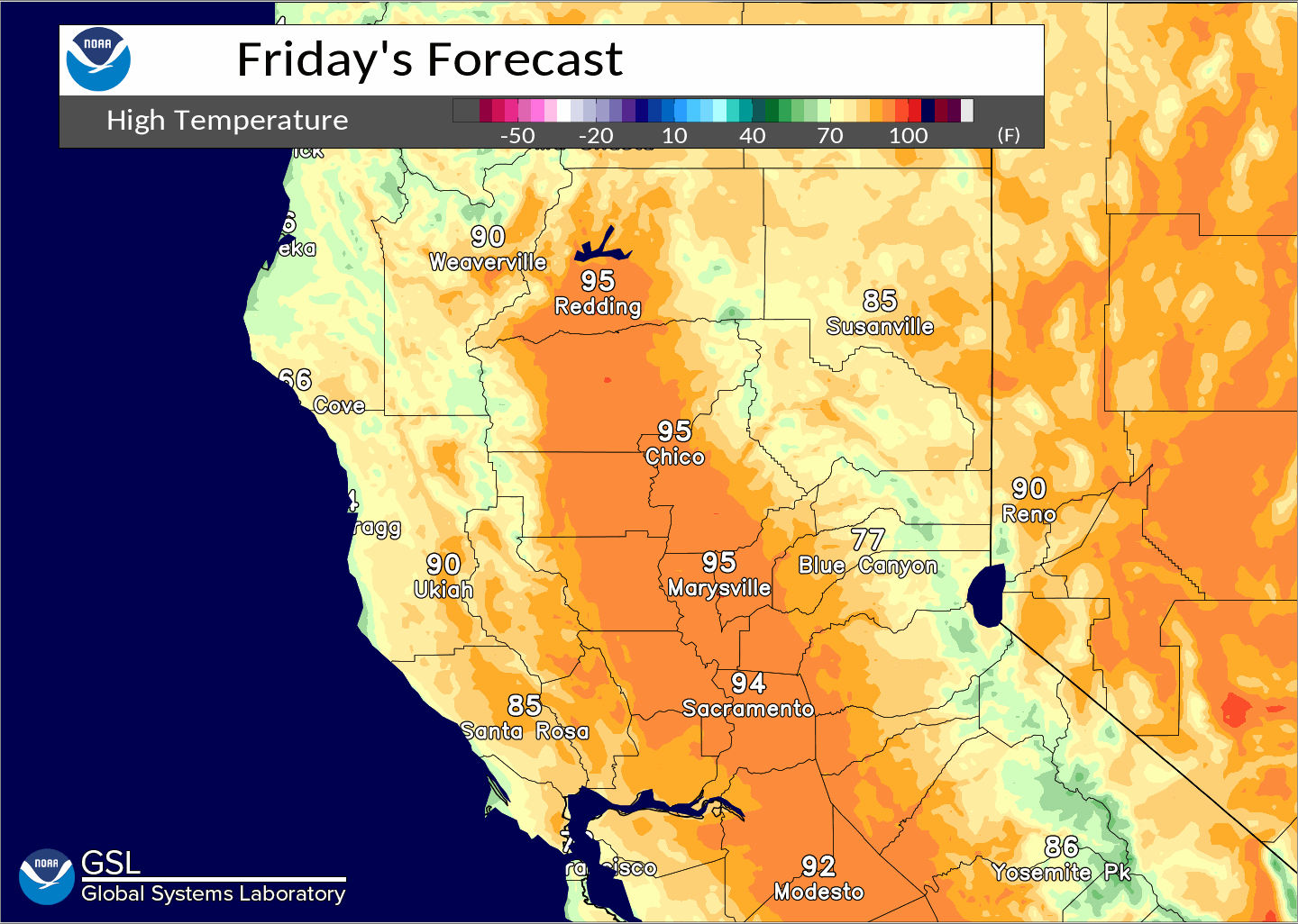
Highs Saturday will be similar to today’s as the last remnants of the eastern Pacific trough finally lift out to our north. Any threat of deep convection with this will remain well north of the forecast area. Still looks like another bout of heat develops Sunday and persists into early next week as the strong Southwest high merges with a transient ridge moving across the eastern Pacific.
Triple digit heat will return beginning Sunday, then peak Monday, across much of the Central Valley leading to widespread moderate heat risk. Highs in excess of 105 will be possible Monday over the northern Sacramento Valley with locally high heat risk.
Extended Discussion (Tuesday through Friday)
Ensembles and clusters in good agreement in shifting the strong ridge further east next week as another trough develops over the eastern Pacific. Pattern will likely take the edge off the early week heat as highs moderate to close to average for mid-July and some Delta influence returns.

We’ll continue to watch the middle and end of next week for the potential of seeing elevated moisture and instability move up from the southeast bringing thunderstorm chances to the northern Sierra. At this point, it’s looking like Thursday may see the best chance for late-day storms across the high Sierra south of Tahoe.