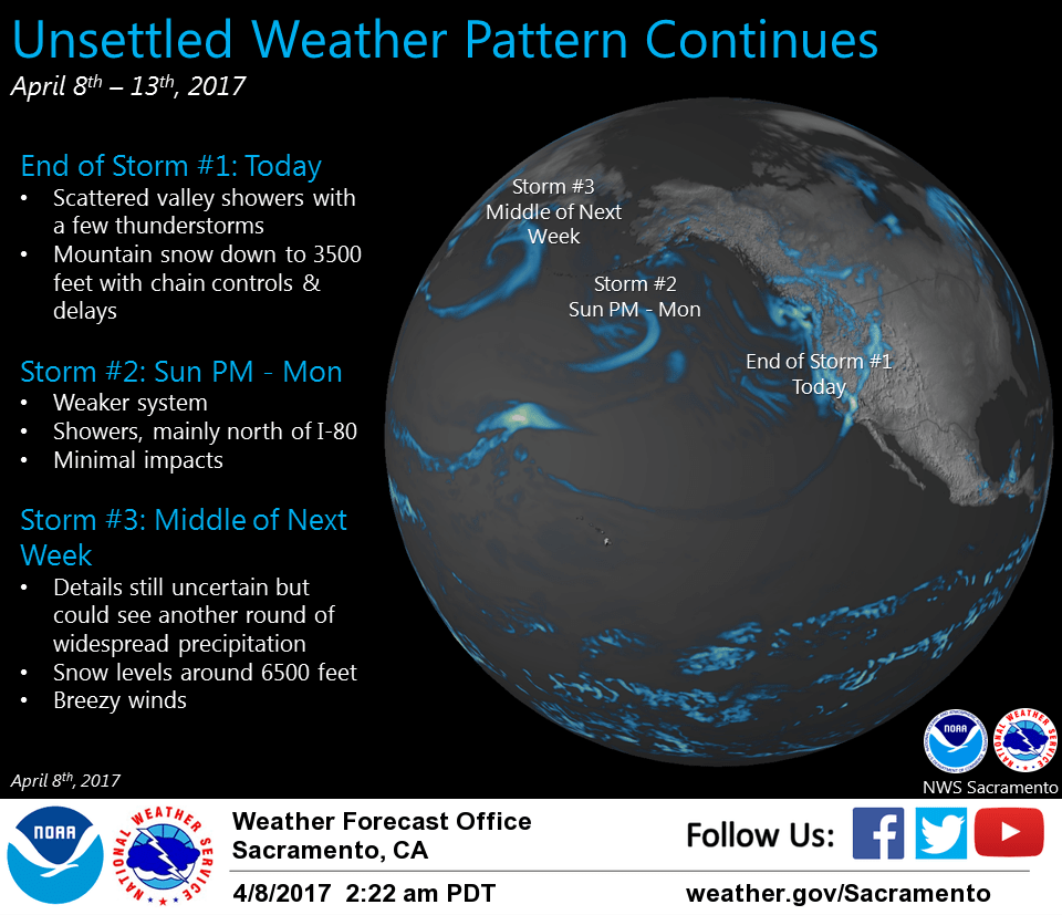
April 8, 2017 – Showers and a few thunderstorms possible today along with mountain snow through the evening hours. Precipitation will taper off tonight. A weak system will move across the area Sunday night into Monday with showers mainly north of I-80. Stronger storm system possible for middle of next week.
Discussion
Todays forecast issue will be with the low moving through the area and bringing the possibility of thunderstorms that could start anytime after about 11 am. Models indicate most of the activity should occur over the southern Sacramento valley and places to the south and east. Snow will likely still be an issue later today as convection develops over the western slopes. Winter Storm Warning was cancelled for the coastal range into the southern cascades as a result of where the main part of what is left of this system is focused. Some snow is likely this morning over Cobb Mountain in southern Lake County but should be ending by noon.
Previous discussion
Area of showers from about Quincy to Livermore continues to slowly push southeast early this morning. A few lightning strikes noted ahead of the line in isolated cells near the Motherlode. Vort max just offshore will sweep through the area today with additional showers likely. Precipitation at lower elevations will be more scattered in nature, with additional amounts of a tenth to half an inch possible. Moderate to heavy snow will continue over the Sierra with snow levels lowering to around 3500-4000 feet. Another 6 to 12 inches looks likely near pass levels. Chain controls are currently up on I-80 and Hwy 50 this morning and expect those to continue into the afternoon hours. Travelers may experience delays, especially during bursts of heavier snow. Latest hi-res models continue to hint at the development of isolated thunderstorms late this morning through the afternoon hours with modest instability as vort max moves through. Stronger storms may contain small hail and brief downpours.
Precipitation will taper off this evening as trough moves off to the east. Weak ridging briefly builds in on Sunday, providing dry weather to the area. Another system will follow in its wake for Sunday night into Monday, although this one will be much weaker. Bulk of moisture will pass to the north of the area, but forcing may be enough for light showers north of Interstate 80 through Monday. Light accumulations expected so not anticipating much in the way of impacts. Dry weather for Monday night ahead of next system which will move in sometime Tuesday evening into night.
Extended discussion (Wednesday through Saturday)
An upper low over the eastern Pacific with a cold front pushing into NorCal on Wednesday. ECMWF running about 12 hours behind GFS on timing of this frontal passage so heavier precipitation may hold off until next Thursday. Either way, another round of widespread precipitation is expected for the forecast area during the early part of the extended period. At this time, this system does not look quite as moist as current system. Winds associated with the frontal passage also not looking quite as strong but at least a period of breezy winds will come with the frontal passage. Snow levels remain below pass levels with this next system despite the fact that we are now well into spring so at least minor travel impacts can be expected again. A chance of showers continues on Friday depending on whether the upper low moves into the Pacific northwest or remains offshore depending on model. Forecast confidence drops going into next weekend with models showing quite a lot of variance. ECMWF shows a continued shower threat while GFS and GEM would bring drying most areas. For now, have left in slight shower threat until models come in to better alignment.