May 20, 2017 – Dry and very warm the next several days. NorCal’s first triple digit heat possible early next week over the Northern Sacramento Valley. A chance of Sierra showers and isolated thunderstorms early next week.
Discussion
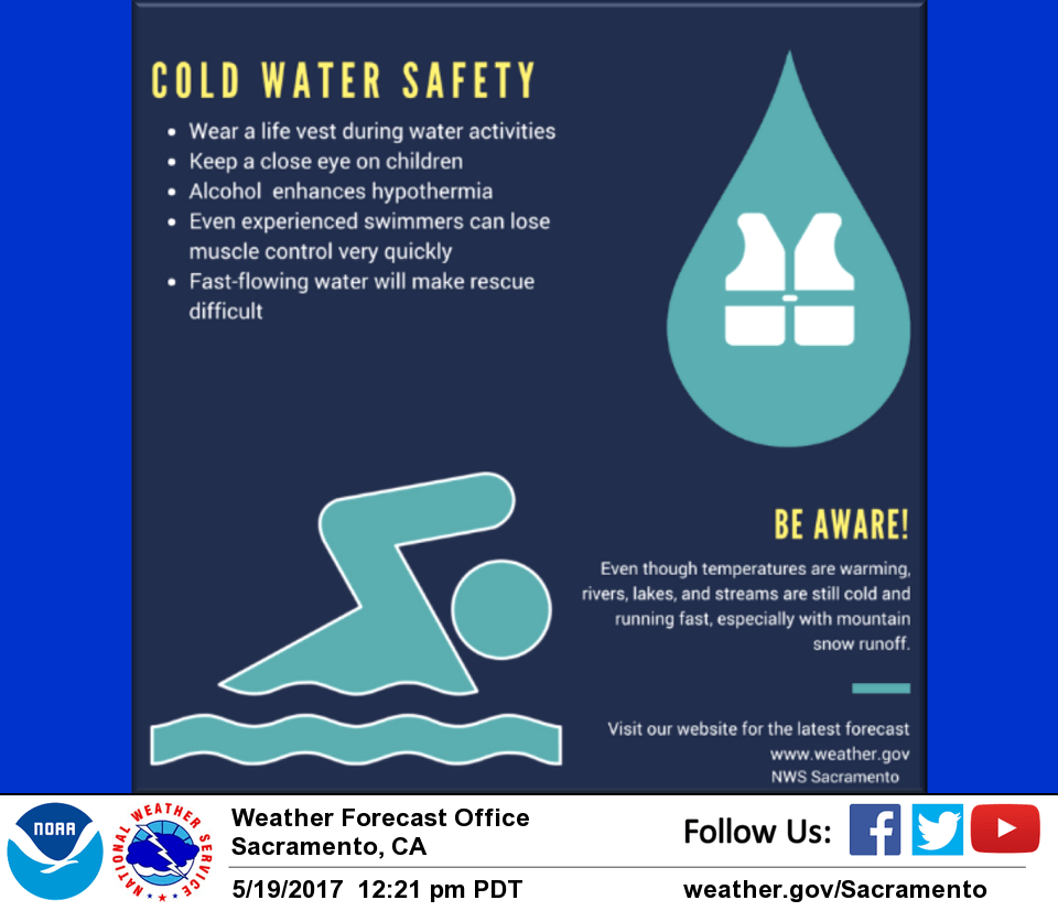
Temperatures are slowly warming up this morning off the morning lows between 55 and 60 for most locations in the valley. Afternoon highs will top out slightly warmer than Friday’s highs in the mid 90s for the central valley. The mountains will top out in the 70’s with the foothills warming into the 80s.
Previous Discussion (Today through Tuesday)
Strong Pacific upper level ridge has built over NorCal with dry and very warm conditions. Temperatures continue to march toward the upper 90s and triple digits Sunday into Tuesday in the Valley. The hottest temperatures of the season thus far will be felt on Monday and people are encouraged to follow heat safety tips during outdoor activities. Isolated thunderstorms should form over Sierra southward of Lake Tahoe area Sunday and Monday.
A detached upper disturbance will creep northward, offshore of central CA, may produce an expanded chance of thunderstorms over the Sierra on Tuesday. This will also trigger an increased Delta Breeze that will cool the Delta-influenced areas.
Extended discussion (Wednesday through Saturday)
High pressure weakens by mid-week as trough gradually deepens over the PacNW. The result will be cool down in temperatures across interior NorCal to around average or below as onshore flow continues.
Enough moisture and instability may linger for a few late day showers and thunderstorms over the mountains on Wednesday, otherwise dry conditions are expected.