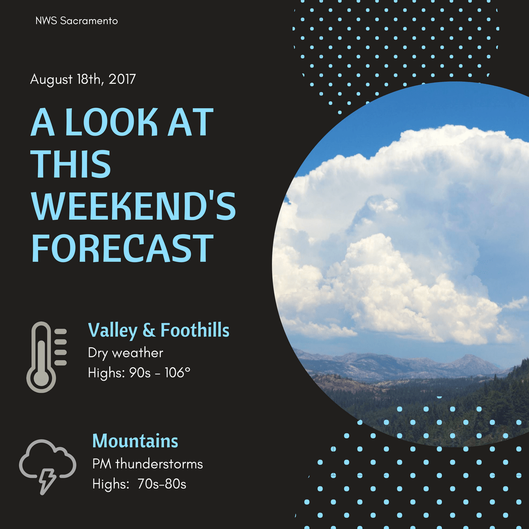
August 18, 2017 – Temperatures near to above normal through the forecast period with a threat of afternoon/evening mountain thunderstorms.
Discussion (Today through Sunday)
Strong high pressure from the EPAC extends inland over Interior NorCal and will result in highs today near or a few degrees warmer. High temperature of 109 in Redding yesterday set a new record. Record high for today at KRDD is 110 and although 109 is forecast, this record could be tied or broken. Most all other areas will be well below record values today, but upwards of 5 to 10 degrees above normal. Flow through the Delta has been strong overnight, but will trend down during the morning hours. Marine layer is about 500 feet shallower than 24 hours ago due to increased subsidence. As a result, max temperatures around Delta influenced areas will likely be similar or a few degrees warmer today. Elevated instability progs showing increased 700-500 MB MU CAPE and TT values over the higher terrain of the Sierra Nevada and Coastal range this afternoon to support isolated thunderstorm development.
Heights/thicknesses trend down over Interior NorCal through the weekend as upper troughing deepens over the area. As a result, onshore flow increases along with depth of marine layer. High temperatures cool to near normal by Sunday into Monday. Afternoon thunderstorms will continue to be possible over the higher terrain of the Sierra Nevada Saturday and Sunday, expanding to include the northern and coastal mountains Monday.
Extended discussion (Tuesday through Friday)
An upper level low set up over SoCal will help to push moisture north into NorCal for the start of the extended period. This will bring the chance for Mountain thunderstorms on Monday and Tuesday during the afternoon and evening hours. There will be plenty of moisture in the region to bring scatted clouds to the Valley both Monday and Tuesday also.
The upper level low will still be hanging around on Wednesday but sounding profiles don’t look quite as favorable for convection and that should limit t-storm activity. The upper level low will be working east on Thursday as a trough drops south into the PacNW.
The latest Euro run has lined up nicely with the GFS keeping the main energy well to our north over Canada. This will bring dry conditions to round out the extended period. Not expecting anything crazy with temperature throughout the forecast as they will be plus or minus a few degrees from average.