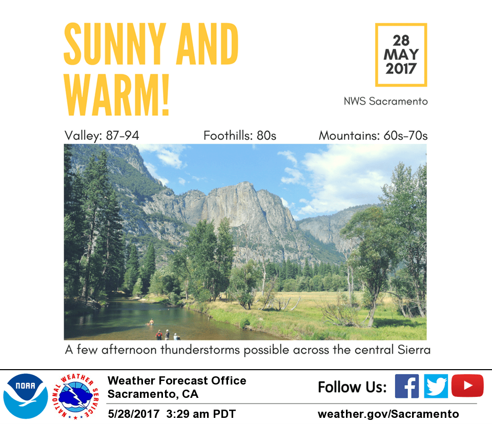
May 28, 2017 – Warming temperatures for the rest of the holiday weekend followed by a cooldown Tuesday. Isolated afternoon showers or thunderstorms possible over the mountains into mid-week.
Discussion
Warming trend continues into Memorial Day as ridging remains in place. Temperatures should warm some 4 to 7 degrees today from Saturday’s high with another few degrees of warming on Monday. Majority of the area will remain dry. Much like yesterday, could see a few showers and thunderstorms pop up over the mountains in the afternoon and evening hours, but not expecting widespread activity.
Ridging will shift east later Monday into Tuesday in advance of trough approaching the West Coast that will move across the area by mid-week. The chance for showers and thunderstorms continues over the mountains, but again not expecting anything widespread as forcing remains weak.
As onshore flow increases, cooling trend will begin and the Delta Breeze will pick back up with gusts to 35-40 mph across Solano County and much cooler temperatures there. Elsewhere, temperatures will drop back down into the 80s in the Valley and 60s-70s in the mountains.
Extended discussion (Thursday through Sunday)
Current long term forecast package now looks dry with high pressure over the southwest U.S now looking strong enough to keep any precipitation threat out of the forecast area.
Latest model runs show the shortwave trough forecast to push into the Pacific northwest Thursday should be too far north to bring significant threat of precipitation to Shasta county.
Airmass warming will bring daytime highs up to several degrees above normal. Models diverge a bit by the end of the week with GFS/GEM showing more ridging over the west coast while ECMWF puts a low along the Pacific Northwest coast. Either way, forecast remains dry with a bit more warming.
Over the weekend, southerly flow aloft bringing a hint of afternoon or evening showers to the northern Sierra. At this time any shower threat looks like it will stay on the east side of the Sierra so have kept showers out of the Sierra forecast for now but will need to continue to monitor subsequent model runs.
Overall high temperatures should remain fairly flat through the weekend at about 10 degrees above normal.